Air Ambulance Helicopter to Norwich Airport, Norwich Airport
Thursday, 29 January 2026 | 16:20 | From Besthorpe
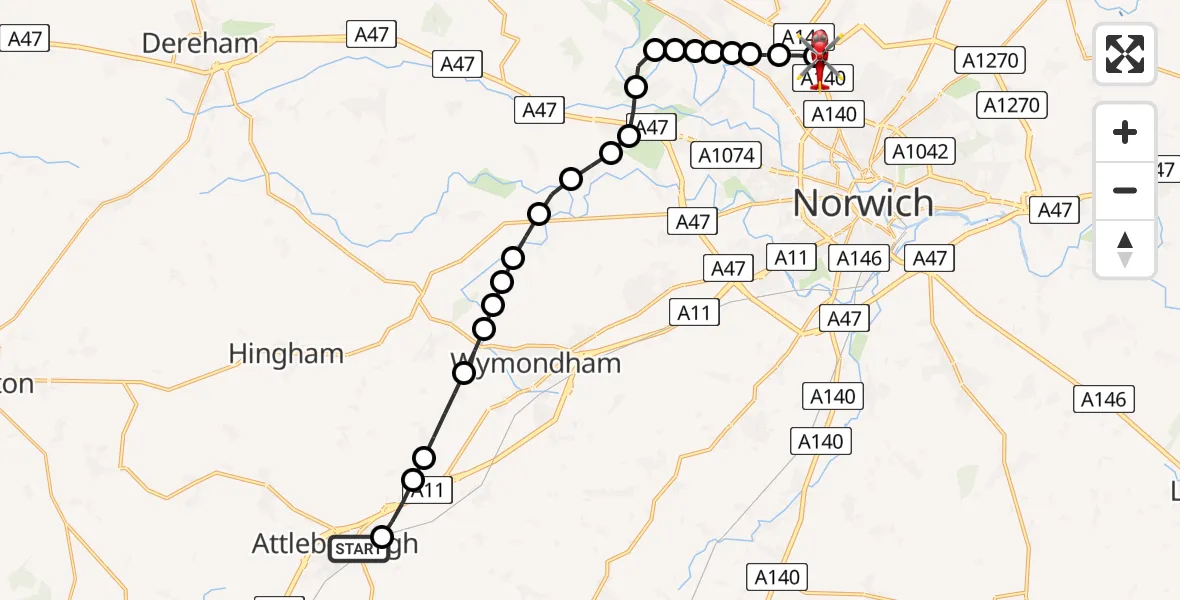
On Thursday, 29 January 2026 at 16:20, a Air Ambulance Helicopter departed from Besthorpe to Norwich Airport. It was the Air Ambulance Helicopter with registration number G-HEMC. The flight lasted 12 minutes. During that period, the aircraft travelled 17 miles at an average speed of 86 miles per hour at a maximum altitude of 1525 feet.
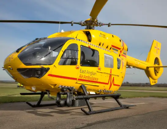
Helicopter: G-HEMC
The helicopter G-HEMC is used as a air ambulance helicopter. The main purpose of this aircraft is to transport a Mobile Medical Team to an incident as quickly as possible, enabling the trauma doctor to provide immediate first aid on site. The aircraft is flying this flight as Air Ambulance Helicopter.
Photo: Jsmauger
18 miles
1525 feet
86 mph
13 minutes
16:20
16:32

Route
Norwich Airport, Norwich, Norfolk16:32
Norwich Airport, Norwich, Norfolk16:32
Norwich Airport, Norwich, Norfolk16:29
Horsford, Broadland16:28
Drayton, Broadland16:28
Drayton, Norwich16:28
Thorpe Marriott, Broadland16:27
Taverham, Broadland16:27
Costessey, South Norfolk16:27
Taverham, Broadland16:27
Ringland, Broadland16:26
Easton, South Norfolk16:26
Easton, Norwich16:25
Marlingford, South Norfolk16:25
Barford, South Norfolk16:24
South Norfolk16:24
Wymondham, South Norfolk16:24
Kimberley Hall Airstrip16:23
Wymondham, South Norfolk16:23
Wicklewood, South Norfolk16:23
Morley St Botolph, South Norfolk16:22
Morley St Peter, South Norfolk16:21
Besthorpe, Breckland16:21
Thieves Lane, Attleborough16:20
Today
Police Helicopter to Epping Forest, Green Lane26 Feb 23:43
Flights Besthorpe
Helicopter flights on your website?
You can easily display helicopter flights on your own website. Use the embed code.
