Air Ambulance Helicopter to Wyre, Bilsborrow Lane
Wednesday, 28 January 2026 | 15:38 | From Common Edge
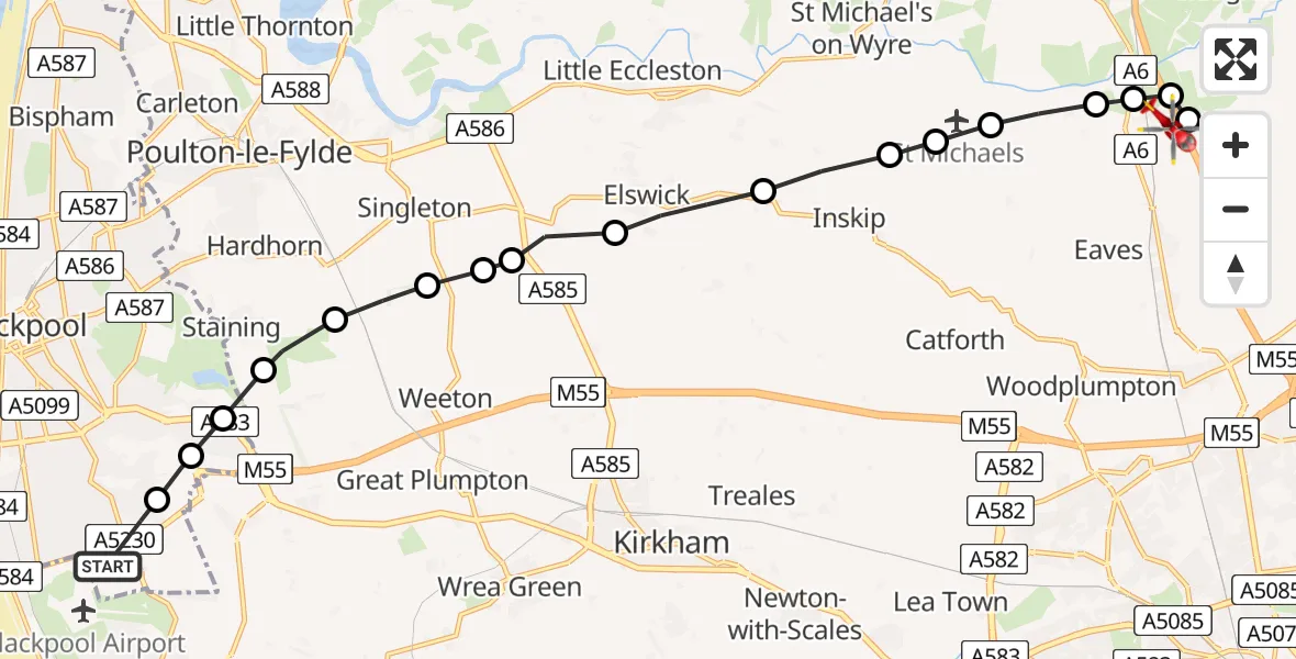
On Wednesday, 28 January 2026 at 15:38, a Air Ambulance Helicopter departed from Common Edge to Wyre. It was the Air Ambulance Helicopter with registration number G-NWAA. The flight lasted 7 minutes. During that period, the aircraft travelled 14 miles at an average speed of 131 miles per hour at a maximum altitude of 1450 feet.
Helicopter: G-NWAA
The helicopter G-NWAA is used as a air ambulance helicopter. The main purpose of this aircraft is to transport a Mobile Medical Team to an incident as quickly as possible, enabling the trauma doctor to provide immediate first aid on site. The aircraft is flying this flight as Air Ambulance Helicopter.
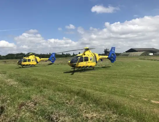
Photo: Legion23
15 miles
1450 feet
131 mph
7 minutes
15:38
15:45

Route
Bilsborrow Lane, Lancashire15:45
Wyre, Lancashire15:44
Broughton, Wyre15:44
Wyre, Lancashire15:44
Preston, Lancashire15:44
Wyre, Lancashire15:43
Inskip, Wyre15:43
Wyre, Lancashire15:43
Inskip, Wyre15:42
Elswick, Fylde15:41
Fylde, Lancashire15:41
Singleton, Fylde15:41
Weeton, Preston15:40
Fylde, Lancashire15:40
Staining, Fylde15:39
Little Marton, Lancashire15:39
Mereside, Lancashire15:39
Marton Moss Side, Lancashire15:38
Squires Gate Industrial Estate, Lancashire15:38
Today
Police Helicopter to Epping Forest, Green Lane26 Feb 23:43
Flights Wyre
Air Ambulance Helicopter to Culgaith, B641212 Jan 19:15
Helicopter flights on your website?
You can easily display helicopter flights on your own website. Use the embed code.
