Air Ambulance Helicopter to North Kesteven, Sleaford Road
Wednesday, 28 January 2026 | 11:13 | From Newark on Trent
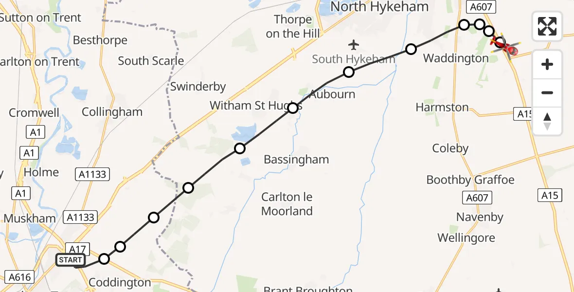
On Wednesday, 28 January 2026 at 11:13, a Air Ambulance Helicopter departed from Newark on Trent to North Kesteven. It was the Air Ambulance Helicopter with registration number G-LNCC. The flight lasted 10 minutes. During that period, the aircraft travelled 14 miles at an average speed of 84 miles per hour at a maximum altitude of 1325 feet.
Helicopter: G-LNCC
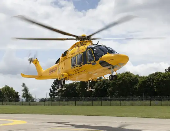
The helicopter G-LNCC is used as a air ambulance helicopter. The main purpose of this aircraft is to transport a Mobile Medical Team to an incident as quickly as possible, enabling the trauma doctor to provide immediate first aid on site. The aircraft is flying this flight as Air Ambulance Helicopter.
Photo: Lincs & Notts
14 miles
1325 feet
84 mph
11 minutes
11:13
11:23

Route
Sleaford Road, Greater Lincolnshire11:23
North Kesteven, Greater Lincolnshire11:23
RAF Waddington, Lincoln, Lincolnshire11:22
Bracebridge Heath, North Kesteven11:22
Waddington, Lincoln11:22
Waddington, North Kesteven11:21
Hykeham Moor, North Kesteven11:20
Aubourn, North Kesteven11:19
Witham St Hughs, North Kesteven11:19
North Kesteven, Greater Lincolnshire11:18
Collingham CP, Newark and Sherwood11:17
Newark and Sherwood, East Midlands11:17
Coddington, Newark and Sherwood11:17
James Watt Road, Newark and Sherwood11:15
Newark on Trent, Newark and Sherwood11:13
Today
Police Helicopter to Epping Forest, Green Lane26 Feb 23:43
Helicopter flights on your website?
You can easily display helicopter flights on your own website. Use the embed code.
