Air Ambulance Helicopter to Merlin's Bridge, Clay Lane
Wednesday, 28 January 2026 | 10:08 | From Llanelli Rural
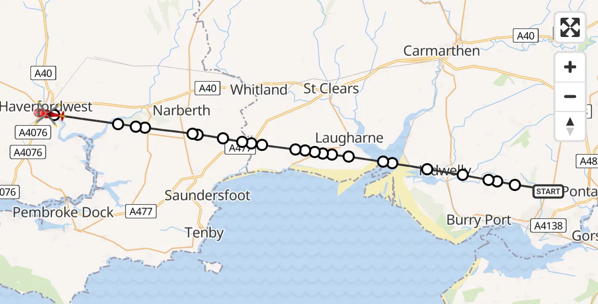
On Wednesday, 28 January 2026 at 10:08, a Air Ambulance Helicopter departed from Llanelli Rural to Merlin's Bridge. It was the Air Ambulance Helicopter with registration number G-WROL. The flight lasted 14 minutes. During that period, the aircraft travelled 36 miles at an average speed of 153 miles per hour at a maximum altitude of 2125 feet.
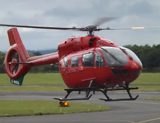
Helicopter: G-WROL
The helicopter G-WROL is used as a air ambulance helicopter. The main purpose of this aircraft is to transport a Mobile Medical Team to an incident as quickly as possible, enabling the trauma doctor to provide immediate first aid on site. The aircraft is flying this flight as Air Ambulance Helicopter.
Photo: James from Cheltenham, Gloucestershire
36 miles
2125 feet
153 mph
15 minutes
10:08
10:22

Route
Clay Lane, 10:22
Haverfordwest10:22
Uzmaston, Boulston and Slebech10:20
Martletwy10:20
Narberth10:19
Templeton10:18
Narberth10:18
Ludchurch10:17
Tavernspite10:17
Amroth10:16
Eglwyscummin10:16
Pendine10:15
Llanddowror10:15
Llanmiloe10:15
Llansadwrnen10:14
Laugharne Township10:14
Laugharne10:14
Laugharne Township10:13
Llansteffan10:12
St. Ishmael10:11
Kidwelly10:10
Trimsaran10:10
Carway10:09
Rehoboth Road, 10:09
Llanelli Rural10:08
Today
Helicopter flights on your website?
You can easily display helicopter flights on your own website. Use the embed code.
