Air Ambulance Helicopter to Plymouth, Miller Way
Wednesday, 28 January 2026 | 9:59 | From Probus
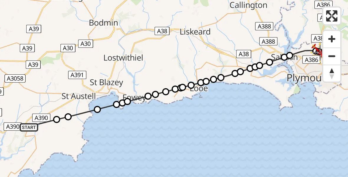
On Wednesday, 28 January 2026 at 9:59, a Air Ambulance Helicopter departed from Probus to Plymouth. It was the Air Ambulance Helicopter with registration number G-CNLL. The flight lasted 16 minutes. During that period, the aircraft travelled 38 miles at an average speed of 139 miles per hour at a maximum altitude of 2175 feet.
Helicopter: G-CNLL
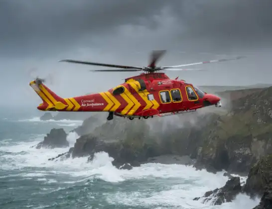
The helicopter G-CNLL is used as a air ambulance helicopter. The main purpose of this aircraft is to transport a Mobile Medical Team to an incident as quickly as possible, enabling the trauma doctor to provide immediate first aid on site. The aircraft is flying this flight as Air Ambulance Helicopter.
Photo: Tony Melony
38 miles
2175 feet
139 mph
17 minutes
09:59
10:15

Route
Miller Way, 10:15
Plymouth10:15
Crownhill, Plymouth10:14
Plymouth10:12
Saltash10:12
Forder, Saltash10:11
Saltash10:11
Landrake with St Erney10:11
Sheviock10:10
Polbathic10:10
Deviock10:10
Seaton10:09
St. Martin-by-Looe10:08
St Martin10:08
St Martin, Looe10:08
West Looe, Looe10:07
Talland10:07
Pelynt10:07
Porthallow10:07
Polperro10:06
Lansallos10:05
Lanteglos10:05
Fowey10:04
Par10:04
Fowey10:03
English Channel10:02
St. Ewe10:01
Grampound with Creed10:00
Probus, 09:59
Live flights
Today
Police Helicopter to Epping Forest, Green Lane26 Feb 23:43
Flights Plymouth
Police Helicopter to Plymouth, Auckland Road15 Feb 21:13
Police Helicopter to Plymouth, Portland Road15 Feb 20:14
Air Ambulance Helicopter to Winkleigh, Winkleigh14 Feb 16:42
Flights Probus
Air Ambulance Helicopter to Plymouth, Miller Way28 Jan 09:59
Air Ambulance Helicopter to Probus, A307828 Jan 08:39
Helicopter flights on your website?
You can easily display helicopter flights on your own website. Use the embed code.
