Air Ambulance Helicopter to Trowbridge
Wednesday, 28 January 2026 | 9:58 | From Wiltshire Air Ambulance
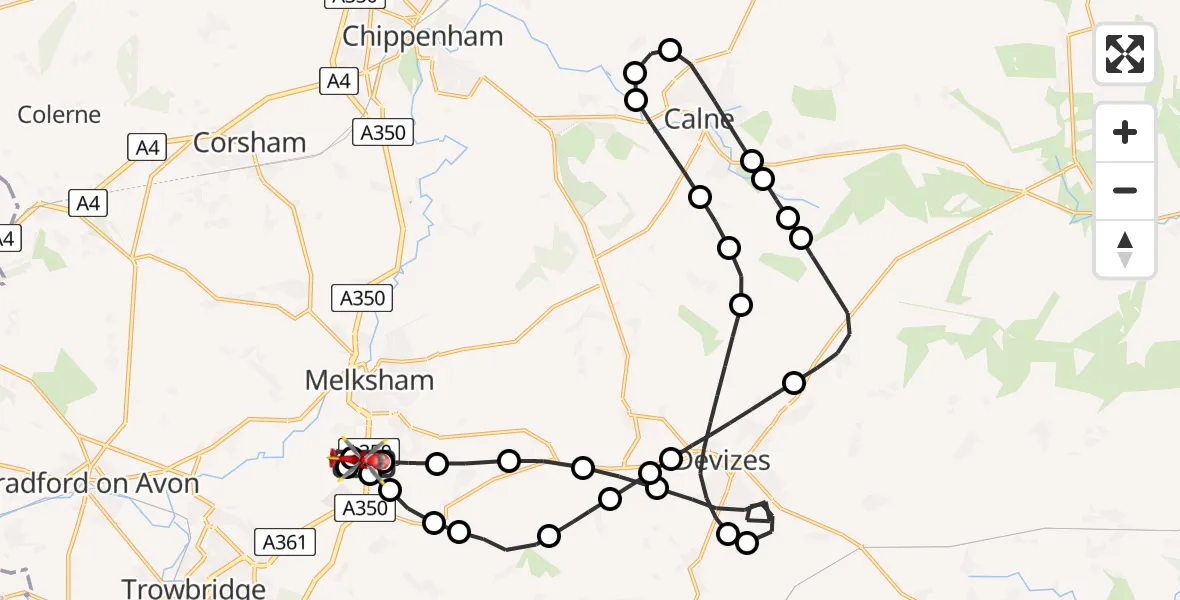
On Wednesday, 28 January 2026 at 9:58, a Air Ambulance Helicopter departed from Wiltshire Air Ambulance to Trowbridge. It was the Air Ambulance Helicopter with registration number G-WLTS. The flight lasted 21 minutes. During that period, the aircraft travelled 36 miles at an average speed of 103 miles per hour at a maximum altitude of 3125 feet.
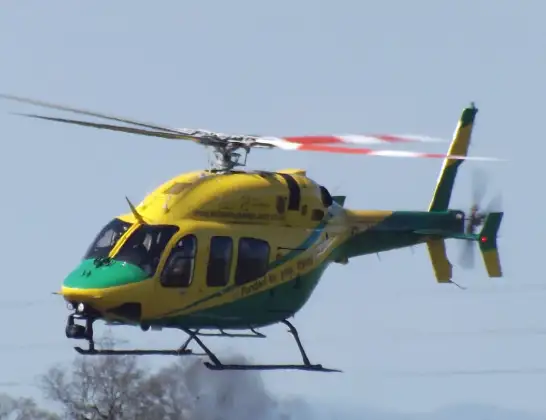
Helicopter: G-WLTS
The helicopter G-WLTS is used as a air ambulance helicopter. The main purpose of this aircraft is to transport a Mobile Medical Team to an incident as quickly as possible, enabling the trauma doctor to provide immediate first aid on site. The aircraft is flying this flight as Air Ambulance Helicopter.
Photo: James
37 miles
3125 feet
103 mph
22 minutes
09:58
10:19

Route
Trowbridge, 10:19
Berryfield10:19
Semington10:18
Melksham10:18
Seend10:17
Great Hinton10:17
Keevil10:17
Bulkington10:16
Poulshot10:15
Devizes10:14
Rowde10:14
Devizes10:13
Bishops Cannings10:11
Cherhill10:10
Lower Compton10:10
Lower Compton, Calne10:10
Calne10:08
Bremhill10:08
Studley10:07
Calne10:06
Stockley10:06
Heddington10:05
Devizes10:03
Potterne10:03
Devizes10:00
Poulshot10:00
Seend09:59
Seend Cleeve09:59
Melksham09:58
Commerce Way, 09:58
Live flights
Today
Flights Trowbridge
Air Ambulance Helicopter to Henstridge Airfield12 May 19:06
Helicopter flights on your website?
You can easily display helicopter flights on your own website. Use the embed code.
