Air Ambulance Helicopter to Highbury, Anchor Road
Tuesday, 27 January 2026 | 22:00 | From Henstridge Airfield
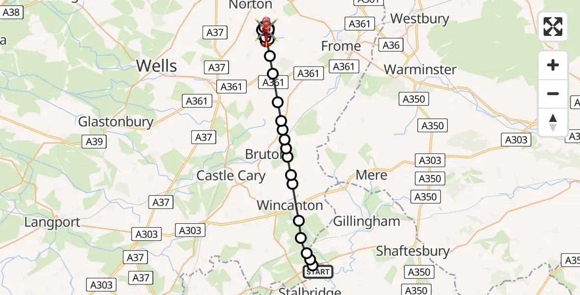
On Tuesday, 27 January 2026 at 22:00, a Air Ambulance Helicopter departed from Henstridge Airfield to Highbury. It was the Air Ambulance Helicopter with registration number G-DSAA. The flight lasted 15 minutes. During that period, the aircraft travelled 26 miles at an average speed of 105 miles per hour at a maximum altitude of 2100 feet.
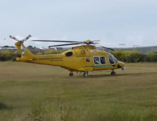
Helicopter: G-DSAA
The helicopter G-DSAA is used as a air ambulance helicopter. The main purpose of this aircraft is to transport a Mobile Medical Team to an incident as quickly as possible, enabling the trauma doctor to provide immediate first aid on site. The aircraft is flying this flight as Air Ambulance Helicopter.
Photo: Andrew Bone
26 miles
2100 feet
105 mph
15 minutes
22:00
22:15

Route
Highbury22:15
Anchor Road, 22:15
Highbury22:13
Kilmersdon22:13
Highbury22:12
Kilmersdon22:12
Holcombe22:11
Highbury22:11
Coleford22:11
Highbury22:09
Coleford22:09
Highbury22:08
Coleford22:07
Leigh upon Mendip22:07
Downhead22:06
Wanstrow22:06
Batcombe22:05
Upton Noble22:05
Bruton22:05
South Brewham22:04
Brewham22:04
Bruton22:04
Charlton Musgrove22:03
Wincanton22:02
Horsington22:02
Abbas and Templecombe22:01
Kington Magna22:01
Henstridge22:01
Henstridge Airfield, Templecombe, Somerset22:00
Live flights
Today
Police Helicopter to Epping Forest, Green Lane26 Feb 23:43
Flights Highbury
Air Ambulance Helicopter to Kington Magna, A3027 Jan 23:11
Helicopter flights on your website?
You can easily display helicopter flights on your own website. Use the embed code.
