Air Ambulance Helicopter to Kimpton, Down Road
Tuesday, 27 January 2026 | 16:22 | From New Milton
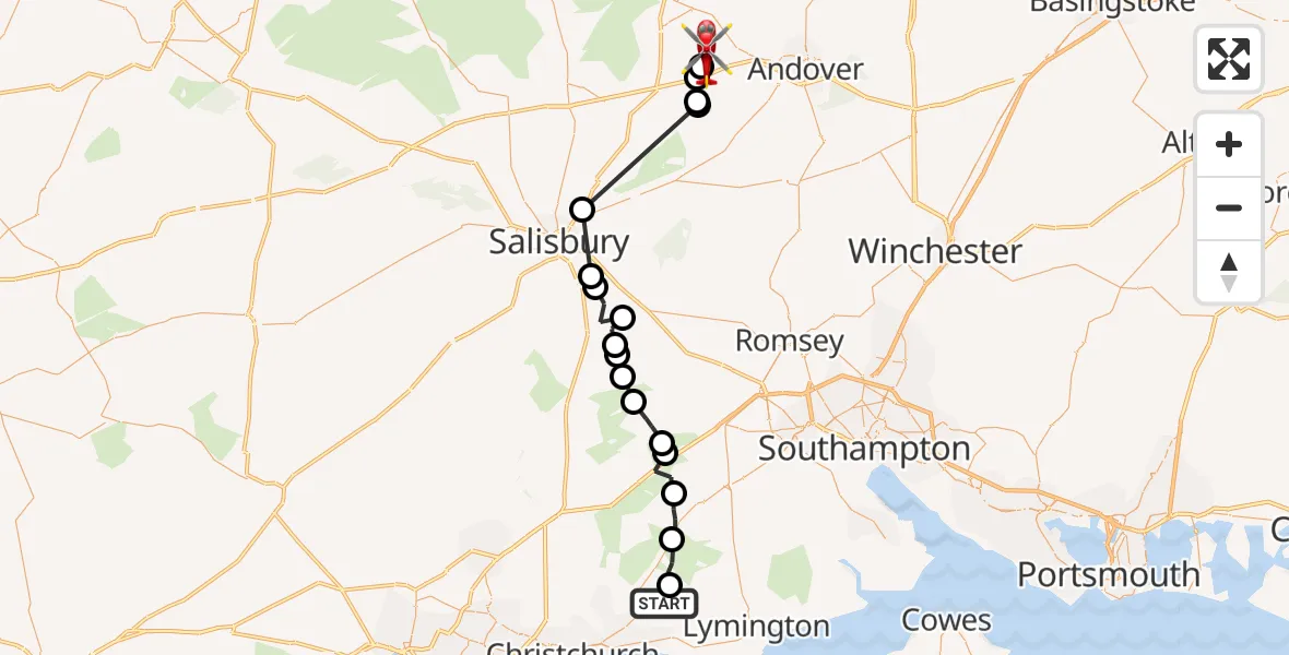
On Tuesday, 27 January 2026 at 16:22, a Air Ambulance Helicopter departed from New Milton to Kimpton. It was the Air Ambulance Helicopter with registration number G-HIOW. The flight lasted 13 minutes. During that period, the aircraft travelled 37 miles at an average speed of 167 miles per hour at a maximum altitude of 2075 feet.
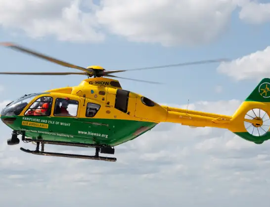
Helicopter: G-HIOW
The helicopter G-HIOW is used as a air ambulance helicopter. The main purpose of this aircraft is to transport a Mobile Medical Team to an incident as quickly as possible, enabling the trauma doctor to provide immediate first aid on site. The aircraft is flying this flight as Air Ambulance Helicopter.
Photo: JF2608
38 miles
2075 feet
167 mph
14 minutes
16:22
16:36

Route
Down Road, Test Valley16:36
Kimpton, Test Valley16:35
Test Valley16:35
Grateley, Test Valley16:35
Manor House Farm Airstrip, Grateley (Hamps)16:35
Ford16:31
Alderbury16:30
Whaddon16:30
Downton16:29
Redlynch16:28
Lover16:28
Hale, New Forest16:28
Godshill, New Forest16:27
Bramshaw, New Forest16:26
Minstead, New Forest16:25
New Forest16:25
Burley, New Forest16:24
Brockenhurst, New Forest16:23
Bashley Common Road, New Forest16:22
Live flights
Police Helicopter on its way from RAF Benson12 Jul 22:54
Police Helicopter on its way from Dundrod12 Jul 22:50
Police Helicopter on its way from East Ardsley12 Jul 22:44
Today
Air Ambulance Helicopter to Glasgow Airport12 Jul 22:48
Air Ambulance Helicopter to Norwich Airport12 Jul 22:27
Air Ambulance Helicopter to Northrepps Aerodrome12 Jul 22:23
Police Helicopter to Harborough, Sulby Road12 Jul 22:20
Air Ambulance Helicopter to Derriford Hospital12 Jul 22:12
Police Helicopter to Manchester Barton Aerodrome12 Jul 22:11
Flights Kimpton
Air Ambulance Helicopter to Kimpton, Cow Lane14 Apr 00:29
Air Ambulance Helicopter to Kimpton, Down Road10 Apr 23:30
Helicopter flights on your website?
You can easily display helicopter flights on your own website. Use the embed code.
