Police Helicopter to Middlesbrough, Dockside Road
Monday, 26 January 2026 | 0:22 | From Newcastle upon Tyne
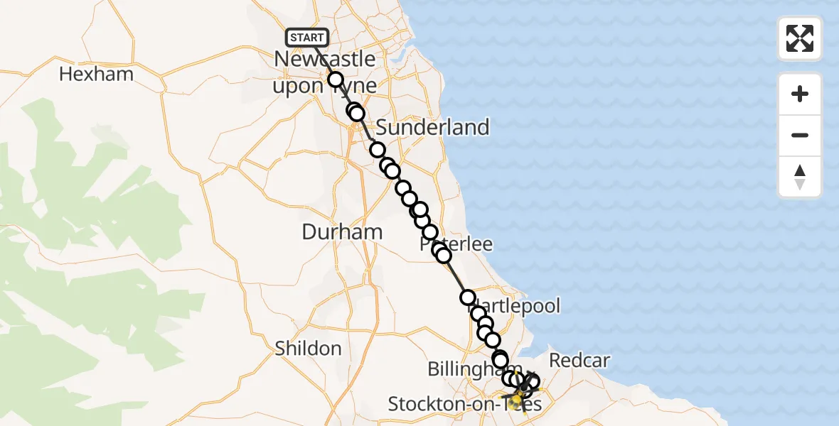
On Monday, 26 January 2026 at 0:22, a Police Helicopter departed from Newcastle upon Tyne to Middlesbrough. It was the Police Helicopter with registration number G-POLA. The flight lasted 19 minutes. During that period, the aircraft travelled 42 miles at an average speed of 135 miles per hour at a maximum altitude of 1550 feet.
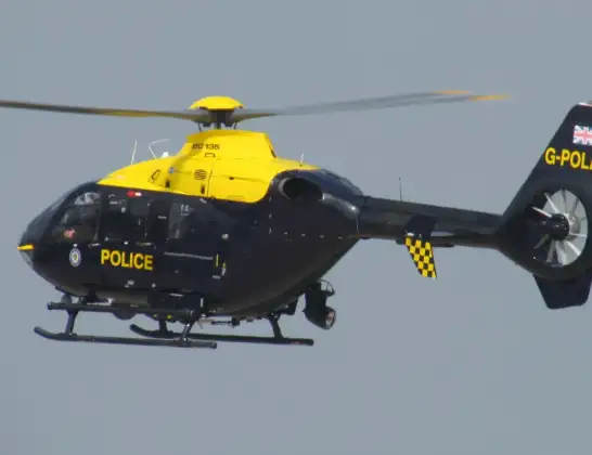
Helicopter: G-POLA
The helicopter G-POLA is used by the British police. The helicopter is deployed in pursuits, missing persons cases and other incidents where a helicopter provides added value.
Photo: ozz13x
42 miles
1550 feet
135 mph
19 minutes
00:22
00:41

Route
Dockside Road, Tees Valley00:41
South Bank, Tees Valley00:41
Billingham, Tees Valley00:40
South Bank, Tees Valley00:39
Billingham, Tees Valley00:38
Cowpen Bewley, Billingham00:38
Billingham, Tees Valley00:37
Greatham, Tees Valley00:37
Claxton, Tees Valley00:36
Brierton, Tees Valley00:36
Dalton Piercy, Tees Valley00:36
Elwick, Tees Valley00:35
Peterlee, North East00:33
Shotton Colliery, North East00:33
Haswell, North East00:32
South Hetton, North East00:31
Haswell, North East00:31
South Hetton, North East00:31
Easington Lane, Sunderland00:30
Hetton-le-Hole, Sunderland00:30
Houghton-le-Spring, Sunderland00:29
Newbottle, Sunderland00:28
Penshaw, Sunderland00:28
Washington, Sunderland00:26
Washington, North East00:26
Gateshead, North East00:24
Hauxley Drive, North East00:22
Live flights
Today
Police Helicopter to Epping Forest, Green Lane26 Feb 23:43
Flights Middlesbrough
Air Ambulance Helicopter to James Cook University Hospital, James Cook University Hospital2 Feb 13:16
Helicopter flights on your website?
You can easily display helicopter flights on your own website. Use the embed code.
