Air Ambulance Helicopter to Glasgow Airport
Sunday, 25 January 2026 | 20:15 | From Glasgow Airport
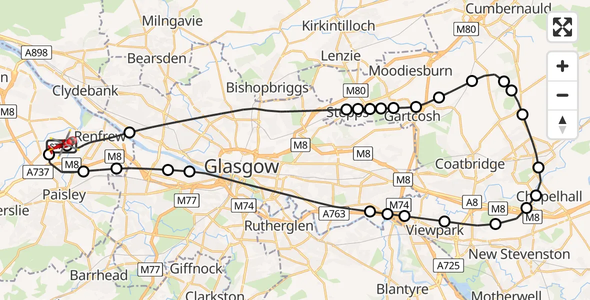
On Sunday, 25 January 2026 at 20:15, a Air Ambulance Helicopter departed from Glasgow Airport to Glasgow Airport. It was the Air Ambulance Helicopter with registration number G-ISAS. The flight lasted 22 minutes. During that period, the aircraft travelled 42 miles at an average speed of 115 miles per hour at a maximum altitude of 2350 feet.
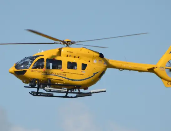
Helicopter: G-ISAS
The helicopter G-ISAS is used as a air ambulance helicopter. The main purpose of this aircraft is to transport a Mobile Medical Team to an incident as quickly as possible, enabling the trauma doctor to provide immediate first aid on site. The aircraft is flying this flight as Air Ambulance Helicopter.
Photo: Jonathan Payne
43 miles
2350 feet
115 mph
23 minutes
20:15
20:37

Route
Glasgow Airport, Glasgow20:37
Glasgow Airport, Glasgow20:36
Paisley20:35
Renfrew20:34
Glasgow20:34
Glasgow Seaplane Terminal, Glasgow20:33
Glasgow20:31
Birkenshaw20:31
Calderbraes20:30
Viewpark20:30
Bellshill20:29
Holytown20:29
Calderbank20:28
Chapelhall20:28
Airdrie20:27
Wattston20:26
Cullochrig (Farm)20:26
Gain20:25
Glenboig20:25
Gartcosh20:24
Mount Ellen20:24
Muirhead20:23
Stepps20:23
Glasgow20:23
Stepps20:23
Glasgow20:18
Netherton Avenue, 20:15
Glasgow Airport, Glasgow20:15
Live flights
Today
Police Helicopter to Ilfracombe13:52:31
Helicopter flights on your website?
You can easily display helicopter flights on your own website. Use the embed code.
