Air Ambulance Helicopter to Liskeard, Liskeard & Looe RFC
Sunday, 25 January 2026 | 18:58 | From St. Mawgan
On Sunday, 25 January 2026 at 18:58, a Air Ambulance Helicopter departed from St. Mawgan to Liskeard. It was the Air Ambulance Helicopter with registration number G-CNLL. The flight lasted 14 minutes. During that period, the aircraft travelled 25 miles at an average speed of 112 miles per hour at a maximum altitude of 2225 feet.
Helicopter: G-CNLL
The helicopter G-CNLL is used as a air ambulance helicopter. The main purpose of this aircraft is to transport a Mobile Medical Team to an incident as quickly as possible, enabling the trauma doctor to provide immediate first aid on site. The aircraft is flying this flight as Air Ambulance Helicopter.
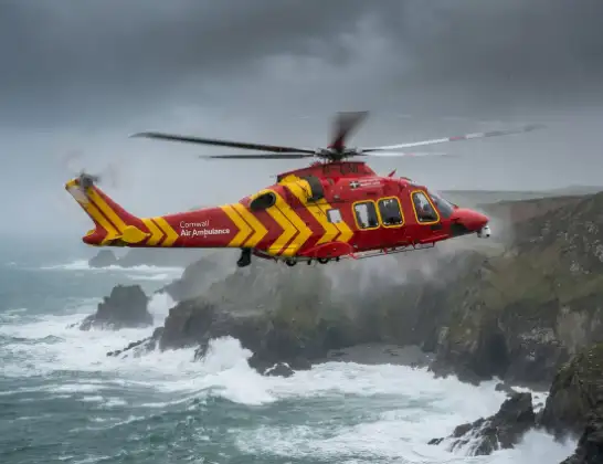
Photo: Tony Melony
26 miles
2225 feet
112 mph
14 minutes
18:58
19:12

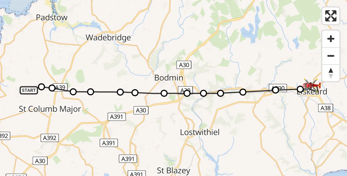
Route
Liskeard & Looe RFC, 19:12
Liskeard19:07
Doublebois19:06
St. Neot19:05
Broadoak19:05
Cardinham19:04
Lanhydrock19:04
Bodmin19:03
Lanivet19:02
Withiel19:01
St. Wenn19:00
Tremayne, St. Columb Major19:00
Talskiddy, St. Columb Major18:59
Mawgan-in-Pydar18:59
St. Mawgan, 18:58
Live flights
Today
Flights Liskeard
Air Ambulance Helicopter to Liskeard, A39020 Jan 18:49
Helicopter flights on your website?
You can easily display helicopter flights on your own website. Use the embed code.
