Police Helicopter to Patchway, Coniston Road
Sunday, 25 January 2026 | 16:45 | From Almondsbury Helicopter Base
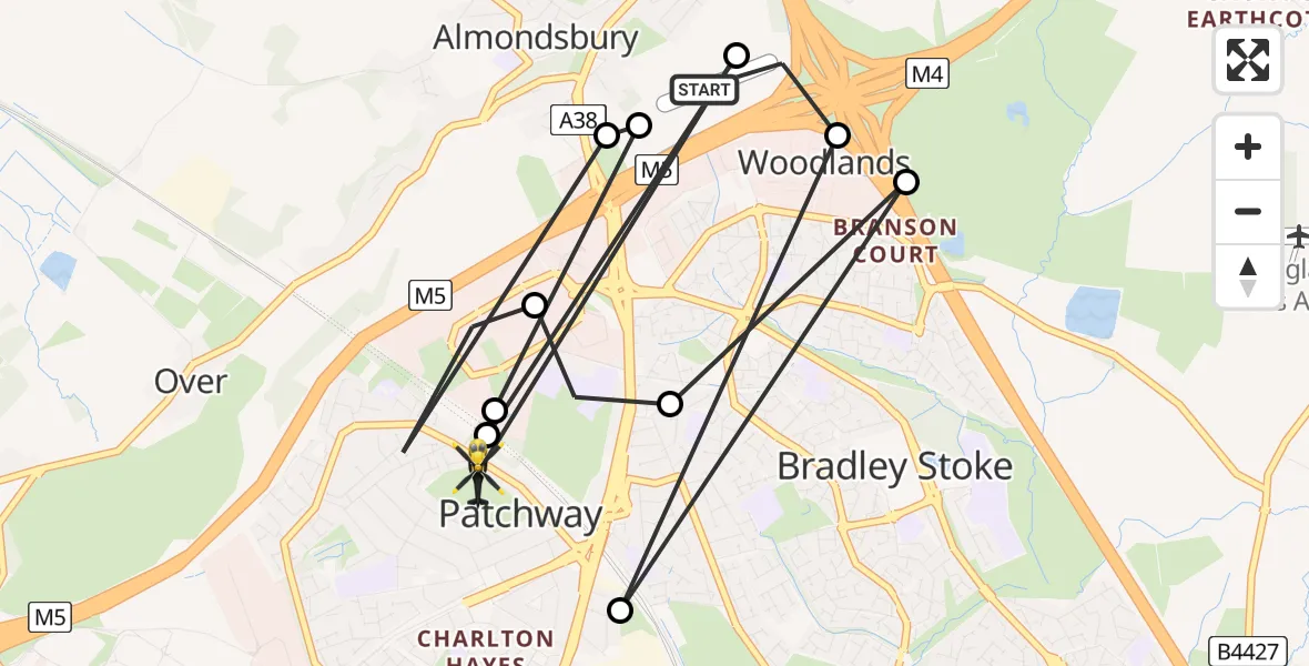
On Sunday, 25 January 2026 at 16:45, a Police Helicopter departed from Almondsbury Helicopter Base to Patchway. It was the Police Helicopter with registration number G-TVHB. The flight lasted 4 minutes. During that period, the aircraft travelled 10 miles at an average speed of 166 miles per hour at a maximum altitude of 1625 feet.
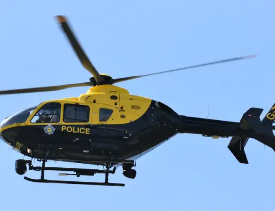
Helicopter: G-TVHB
The helicopter G-TVHB is used by the British police. The helicopter is deployed in pursuits, missing persons cases and other incidents where a helicopter provides added value.
Photo: Alec Wilson
11 miles
1625 feet
166 mph
4 minutes
16:45
16:48

Route
Coniston Road, West of England16:48
Almondsbury Helicopter Base, Bristol, Somerset16:48
Patchway, West of England16:48
Bristol, West of England16:48
Almondsbury Helicopter Base, Bristol, Somerset16:47
Almondsbury, West of England16:47
Patchway, West of England16:46
Bristol, West of England16:46
Bradley Stoke, West of England16:46
Patchway, West of England16:45
Woodlands, West of England16:45
Almondsbury Helicopter Base, Bristol, Somerset16:45
Today
Flights Patchway
Police Helicopter to Patchway, Over Lane27 Jun 23:34
Police Helicopter to Patchway, M525 Jun 12:28
Police Helicopter to Bristol, Abbotsford Road16 Jun 10:38
Police Helicopter to Almondsbury Helicopter Base16 Jun 08:21
Police Helicopter to Almondsbury Helicopter Base30 May 11:13
Helicopter flights on your website?
You can easily display helicopter flights on your own website. Use the embed code.
