Police Helicopter to MOD St Athan
Sunday, 25 January 2026 | 14:26 | From St. Athan
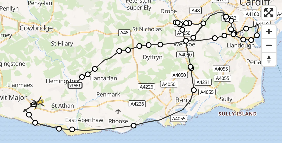
On Sunday, 25 January 2026 at 14:26, a Police Helicopter departed from St. Athan to MOD St Athan. It was the Police Helicopter with registration number G-NWOI. The flight lasted 19 minutes. During that period, the aircraft travelled 34 miles at an average speed of 109 miles per hour at a maximum altitude of 1725 feet.
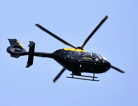
Helicopter: G-NWOI
The helicopter G-NWOI is used by the British police. The helicopter is deployed in pursuits, missing persons cases and other incidents where a helicopter provides added value.
Photo: Alec Wilson
35 miles
1725 feet
109 mph
19 minutes
14:26
14:45

Route
MOD St Athan, St Athan, Vale of Glamorgan14:45
MOD St Athan, St Athan, Vale of Glamorgan14:45
Boverton14:44
Llantwit Major14:44
St Athan14:43
West Aberthaw14:43
Rhoose14:42
Barry14:40
Dinas Powys14:40
Barry14:40
Wenvoe14:39
Drope14:37
Cardiff14:37
Drope14:36
Cardiff14:36
Wenvoe14:36
Cardiff14:35
Wenvoe14:35
Cardiff14:33
Llandough14:33
Cardiff14:33
Michaelston-le-Pit and Leckwith14:32
Llandough14:32
Cardiff14:32
Cardiff Bay14:31
Cardiff14:31
Llandough14:31
Cardiff14:30
Llandough14:30
Michaelston-le-Pit14:30
Wenvoe14:29
Dyffryn14:29
St Nicholas14:28
St Nicholas and Bonvilston14:28
Dyffryn14:28
St Nicholas and Bonvilston14:27
Llancarfan14:27
Barry14:26
Llancarfan14:26
St. Athan, 14:26
Live flights
Today
Helicopter flights on your website?
You can easily display helicopter flights on your own website. Use the embed code.
