Police Helicopter to Hett, West Bowburn Way
Saturday, 24 January 2026 | 23:57 | From Newcastle upon Tyne
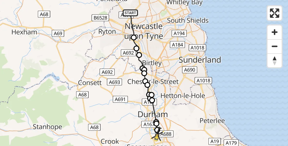
On Saturday, 24 January 2026 at 23:57, a Police Helicopter departed from Newcastle upon Tyne to Hett. It was the Police Helicopter with registration number G-POLA. The flight lasted 12 minutes. During that period, the aircraft travelled 22 miles at an average speed of 115 miles per hour at a maximum altitude of 1775 feet.
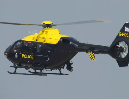
Helicopter: G-POLA
The helicopter G-POLA is used by the British police. The helicopter is deployed in pursuits, missing persons cases and other incidents where a helicopter provides added value.
Photo: ozz13x
23 miles
1775 feet
115 mph
12 minutes
23:57
00:09

Route
West Bowburn Way, North East00:09
Hett, North East00:08
High Shincliffe, North East00:07
Durham, North East00:06
Pity Me, North East00:05
Kimblesworth, North East00:05
Witton Gilbert, North East00:04
Chester-le-Street, North East00:04
Chester Moor, Chester-le-Street00:03
Pelton Fell, Chester-le-Street00:03
Perkinsville, North East00:02
Urpeth, North East00:02
High Handenhold, North East00:02
Lamesley, Gateshead00:01
Lamesley, Whickham00:00
Whickham, North East23:59
Ascot Walk, North East23:57
Live flights
Today
Police Helicopter to Epping Forest, Green Lane26 Feb 23:43
Flights Hett
Police Helicopter to Hett, West Bowburn Way24 Jan 23:57
Helicopter flights on your website?
You can easily display helicopter flights on your own website. Use the embed code.
