Air Ambulance Helicopter to North Weald Airfield
Saturday, 24 January 2026 | 15:33 | From Broomfield Hospital
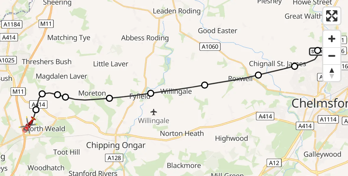
On Saturday, 24 January 2026 at 15:33, a Air Ambulance Helicopter departed from Broomfield Hospital to North Weald Airfield. It was the Air Ambulance Helicopter with registration number G-EHAT. The flight lasted 10 minutes. During that period, the aircraft travelled 15 miles at an average speed of 95 miles per hour at a maximum altitude of 1525 feet.
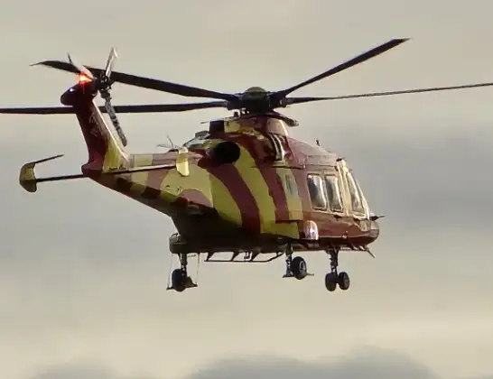
Helicopter: G-EHAT
The helicopter G-EHAT is used as a air ambulance helicopter. The main purpose of this aircraft is to transport a Mobile Medical Team to an incident as quickly as possible, enabling the trauma doctor to provide immediate first aid on site. The aircraft is flying this flight as Air Ambulance Helicopter.
Photo: By Steve Knight
16 miles
1525 feet
95 mph
10 minutes
15:33
15:42

Route
North Weald Airfield, Epping, Essex15:42
North Weald Airfield, Epping, Essex15:41
North Weald Bassett, Epping Forest15:40
Epping Forest, Essex15:39
Magdalen Laver, Epping Forest15:39
Moreton, Epping Forest15:38
Fyfield, Epping Forest15:37
Willingale, Epping Forest15:36
Roxwell, Chelmsford15:35
Chignall St. James, Chelmsford15:35
Chelmsford, Essex15:33
Hospital Ring Road, Essex15:33
Live flights
Police Helicopter on its way from Dundrod12 Jul 22:50
Today
Police Helicopter to East Ardsley, Stoney Lane12 Jul 23:51
Police Helicopter to Birmingham Airport12 Jul 23:46
Air Ambulance Helicopter to Newlands of Culloden12 Jul 23:24
Helicopter flights on your website?
You can easily display helicopter flights on your own website. Use the embed code.
