Police Helicopter to Sewardstonebury, Lippitts Hill
Friday, 23 January 2026 | 4:45 | From London Borough of Redbridge
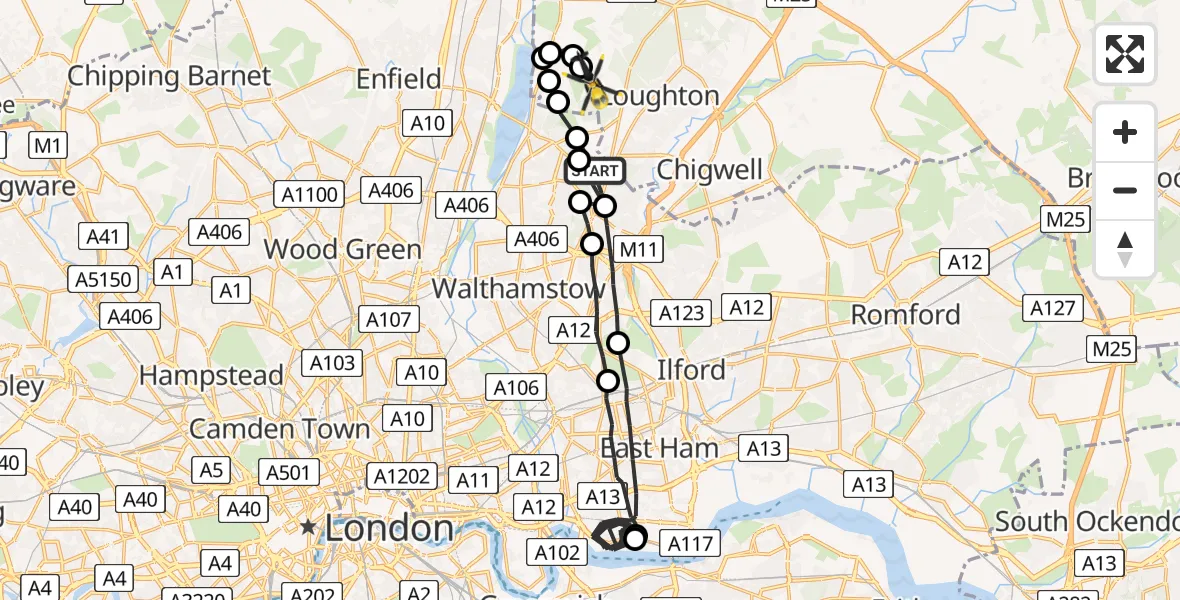
On Friday, 23 January 2026 at 4:45, a Police Helicopter departed from London Borough of Redbridge to Sewardstonebury. It was the Police Helicopter with registration number G-MPSC. The flight lasted 22 minutes. During that period, the aircraft travelled 36 miles at an average speed of 98 miles per hour at a maximum altitude of 2800 feet.
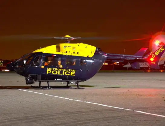
Helicopter: G-MPSC
The helicopter G-MPSC is used by the British police. The helicopter is deployed in pursuits, missing persons cases and other incidents where a helicopter provides added value.
Photo: aceebee, Camberley, UK
37 miles
2800 feet
98 mph
23 minutes
04:45
05:07

Route
Lippitts Hill, Epping Forest05:07
Sewardstonebury, Greater London05:07
Sewardstonebury, Epping Forest05:07
Epping Forest, Essex05:06
Sewardstonebury, Greater London05:06
Greater London, Essex05:06
Sewardstonebury, Epping Forest05:05
London Borough of Waltham Forest, Greater London05:05
London Borough of Redbridge, Greater London05:03
London Borough of Newham, Greater London04:52
London City Airport, London04:52
London Borough of Newham, Greater London04:48
London Borough of Redbridge, Greater London04:46
London Borough of Waltham Forest, Greater London04:46
London Borough of Redbridge, Greater London04:46
London Borough of Waltham Forest, Greater London04:45
Newlands Road, Greater London04:45
Live flights
Today
Flights Sewardstonebury
Police Helicopter to Epping Forest, Mott Street13 Jul 20:41
Police Helicopter to Sewardstonebury, Bury Road13 Jul 11:31
Police Helicopter to Sewardstonebury, Bury Road12 Jul 15:15
Police Helicopter to Sewardstonebury, Bury Road12 Jul 13:50
Helicopter flights on your website?
You can easily display helicopter flights on your own website. Use the embed code.
