Police Helicopter to Rockbeare, Silver Lane
Thursday, 22 January 2026 | 16:17 | From Budleigh Salterton
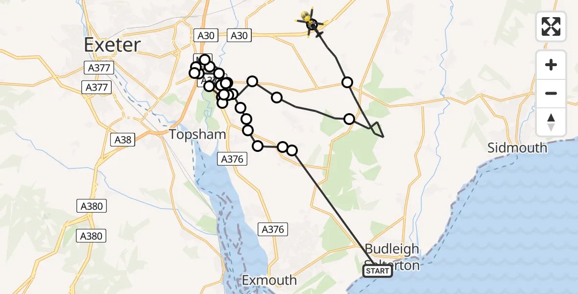
On Thursday, 22 January 2026 at 16:17, a Police Helicopter departed from Budleigh Salterton to Rockbeare. It was the Police Helicopter with registration number G-CPAS. The flight lasted 17 minutes. During that period, the aircraft travelled 26 miles at an average speed of 90 miles per hour at a maximum altitude of 2150 feet.
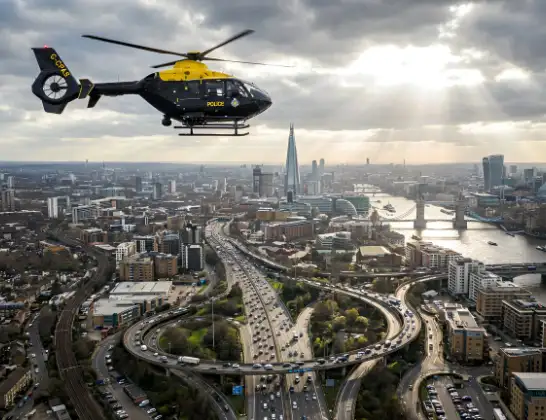
Helicopter: G-CPAS
The helicopter G-CPAS is used by the British police. The helicopter is deployed in pursuits, missing persons cases and other incidents where a helicopter provides added value.
26 miles
2150 feet
90 mph
18 minutes
16:17
16:35

Route
Silver Lane, East Devon16:35
Rockbeare, East Devon16:34
Aylesbeare, East Devon16:34
East Devon, Devon and Torbay16:32
Woodbury Salterton, East Devon16:31
East Devon, Devon and Torbay16:31
Clyst St Mary, East Devon16:30
Clyst St. George, East Devon16:30
Clyst St Mary, East Devon16:30
Clyst St Mary, Exeter16:29
Clyst St Mary, East Devon16:29
Clyst St. George, East Devon16:29
Clyst St Mary, Exeter16:28
Clyst St Mary, East Devon16:27
Exeter, Devon and Torbay16:26
Clyst St Mary, Exeter16:26
Exeter, Devon and Torbay16:26
Clyst St. George, Exeter16:25
Clyst St Mary, East Devon16:25
Clyst St Mary, Exeter16:25
Clyst St Mary, East Devon16:25
Clyst St. George, East Devon16:24
Clyst St. George, Exeter16:24
Clyst St. George, East Devon16:24
Ebford, East Devon16:24
Woodbury, East Devon16:23
Woodbury, Exeter16:23
Northview Road, East Devon16:17
Live flights
Police Helicopter on its way from RAF Benson12 Jul 22:54
Police Helicopter on its way from Dundrod12 Jul 22:50
Today
Air Ambulance Helicopter to Glasgow Airport12 Jul 22:48
Police Helicopter to Walton Wood Airfield12 Jul 22:44
Air Ambulance Helicopter to Norwich Airport12 Jul 22:27
Air Ambulance Helicopter to Northrepps Aerodrome12 Jul 22:23
Flights Rockbeare
Police Helicopter to Southgate, Eastcliff11 Jul 18:41
Police Helicopter to Rockbeare, Silver Lane5 Jul 20:57
Police Helicopter to Rockbeare, Gribble Lane5 Jul 16:32
Police Helicopter to Rockbeare, Silver Lane4 Jul 18:20
Police Helicopter to Rockbeare, Westcott Road30 Jun 18:50
Police Helicopter to Rockbeare, Westcott Road29 Jun 16:58
Helicopter flights on your website?
You can easily display helicopter flights on your own website. Use the embed code.
