Air Ambulance Helicopter to Cornwall Airport Newquay, Cornwall Airport Newquay
Thursday, 22 January 2026 | 9:50 | From Gwinear-Gwithian
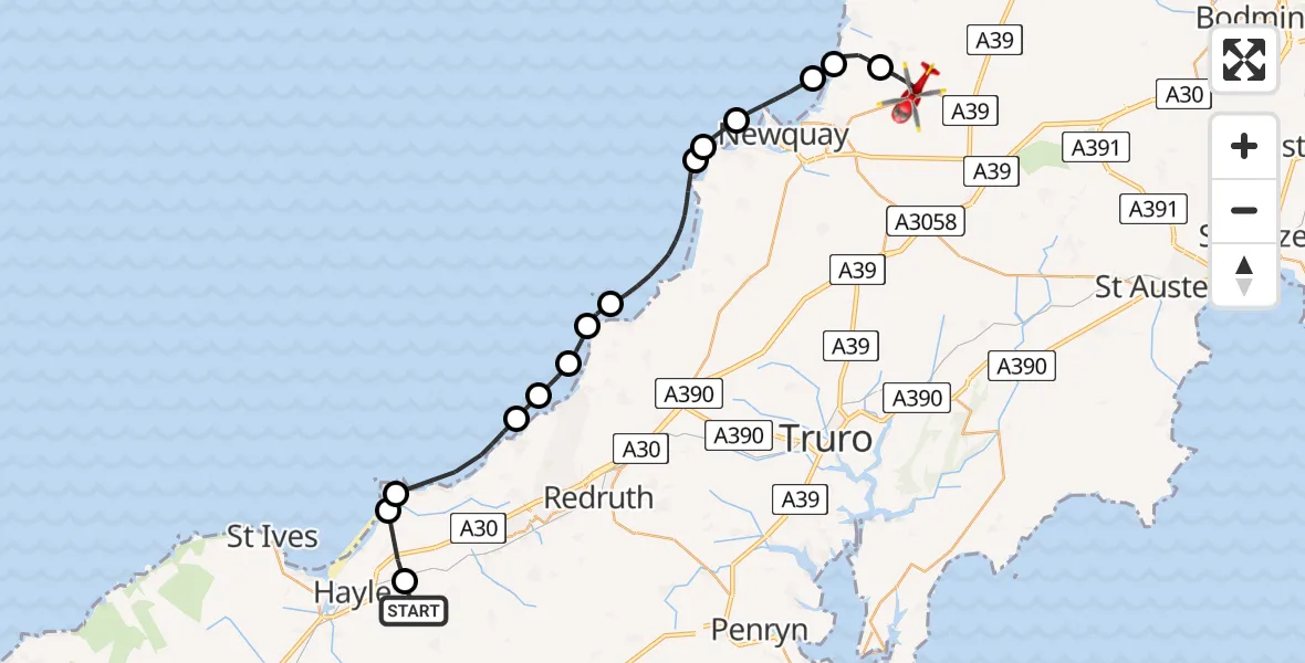
On Thursday, 22 January 2026 at 9:50, a Air Ambulance Helicopter departed from Gwinear-Gwithian to Cornwall Airport Newquay. It was the Air Ambulance Helicopter with registration number G-CNLL. The flight lasted 15 minutes. During that period, the aircraft travelled 29 miles at an average speed of 116 miles per hour at a maximum altitude of 1525 feet.
Helicopter: G-CNLL
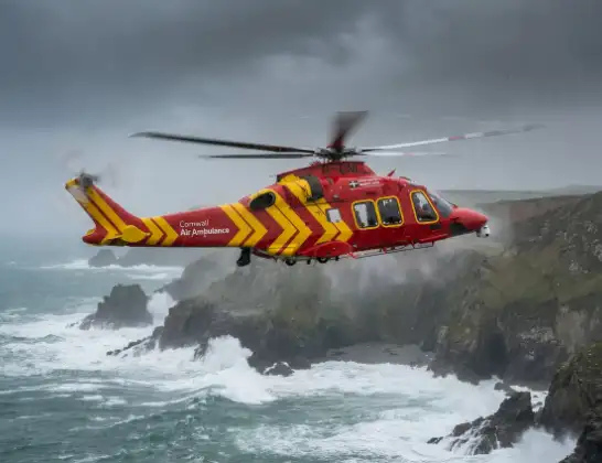
The helicopter G-CNLL is used as a air ambulance helicopter. The main purpose of this aircraft is to transport a Mobile Medical Team to an incident as quickly as possible, enabling the trauma doctor to provide immediate first aid on site. The aircraft is flying this flight as Air Ambulance Helicopter.
Photo: Tony Melony
30 miles
1525 feet
116 mph
16 minutes
09:50
10:05

Route
Cornwall Airport Newquay, Newquay10:05
Cornwall Airport Newquay, Newquay10:04
Trevarrian Hill, Newquay10:03
St. Columb Minor, Newquay10:02
St. Columb Minor, Newquay10:02
Bristol Channel10:01
Crantock10:00
Holywell10:00
Bristol Channel09:57
St. Agnes09:56
Porthtowan09:55
Bristol Channel09:55
Illogan09:54
Camborne09:52
Gwinear-Gwithian09:52
Angarrack, Hayle09:50
Gwinear-Gwithian, 09:50
Live flights
Today
Police Helicopter to Epping Forest, Green Lane26 Feb 23:43
Flights Gwinear-Gwithian
Helicopter flights on your website?
You can easily display helicopter flights on your own website. Use the embed code.
