Police Helicopter to London Borough of Enfield, Bressey Avenue
Thursday, 22 January 2026 | 8:54 | From London Borough of Enfield
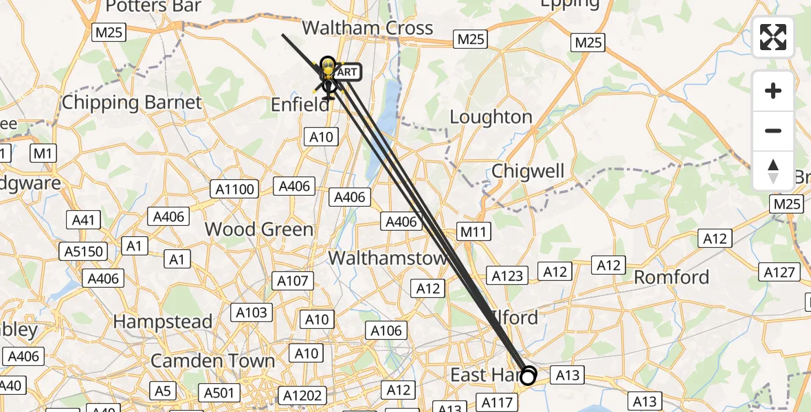
On Thursday, 22 January 2026 at 8:54, a Police Helicopter departed from London Borough of Enfield to London Borough of Enfield. It was the Police Helicopter with registration number G-MPSC. The flight lasted 3 minutes. During that period, the aircraft travelled 48 miles at an average speed of 853 miles per hour at a maximum altitude of 1525 feet.
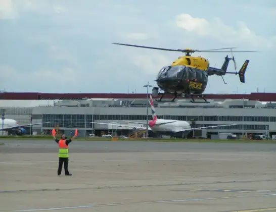
Helicopter: G-MPSC
The helicopter G-MPSC is used by the British police. The helicopter is deployed in pursuits, missing persons cases and other incidents where a helicopter provides added value.
Photo: Simon Boddy
49 miles
1525 feet
853 mph
4 minutes
08:54
08:58

Route
Bressey Avenue, Greater London08:58
London Borough of Enfield, Greater London08:56
London Borough of Barking and Dagenham, Greater London08:55
London Borough of Enfield, Greater London08:55
Barking, Greater London08:55
Maltby Drive, Greater London08:54
Live flights
Today
Helicopter flights on your website?
You can easily display helicopter flights on your own website. Use the embed code.
