Police Helicopter to Milnrow, Townley Road
Wednesday, 21 January 2026 | 21:29 | From Worsley
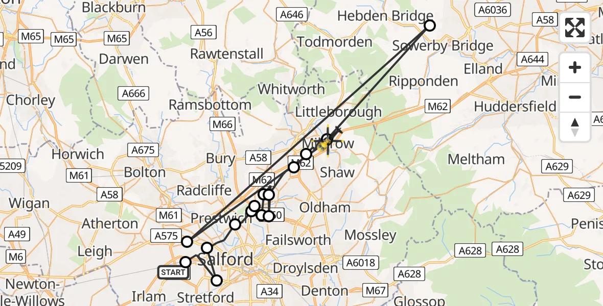
On Wednesday, 21 January 2026 at 21:29, a Police Helicopter departed from Worsley to Milnrow. It was the Police Helicopter with registration number G-EMID. The flight lasted 14 minutes. During that period, the aircraft travelled 75 miles at an average speed of 333 miles per hour at a maximum altitude of 2275 feet.
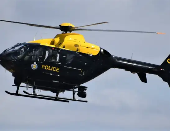
Helicopter: G-EMID
The helicopter G-EMID is used by the British police. The helicopter is deployed in pursuits, missing persons cases and other incidents where a helicopter provides added value.
Photo: Alec Wilson
76 miles
2275 feet
333 mph
14 minutes
21:29
21:42

Route
Townley Road, Greater Manchester21:42
Milnrow, Greater Manchester21:40
Luddenden, Calderdale21:40
Swinton, Salford21:40
Milnrow, Greater Manchester21:35
Castleton, Rochdale21:34
Middleton, Greater Manchester21:34
Manchester, Greater Manchester21:33
Middleton, Greater Manchester21:33
Manchester, Greater Manchester21:33
Simister, Bury21:32
Manchester, Greater Manchester21:32
Prestwich, Greater Manchester21:31
Pendlebury, Salford21:30
Stretford, Trafford21:30
Eccles, Salford21:29
Verdant Lane, Salford21:29
Today
Police Helicopter to Epping Forest, Green Lane26 Feb 23:43
Flights Milnrow
Police Helicopter to Milnrow, Townley Road21 Jan 21:29
Flights Worsley
Police Helicopter to Worsley, Robinia Close25 Feb 10:10
Police Helicopter to Worsley, Twelve Yards Road25 Feb 10:01
Police Helicopter to Worsley, Twelve Yards Road25 Feb 09:32
Police Helicopter to Worsley, Twelve Yards Road25 Feb 00:46
Police Helicopter to Worsley, Robinia Close24 Feb 18:38
Helicopter flights on your website?
You can easily display helicopter flights on your own website. Use the embed code.
