Air Ambulance Helicopter to Newport, Cemetery Lane
Wednesday, 21 January 2026 | 15:41 | From Cefn Cribwr
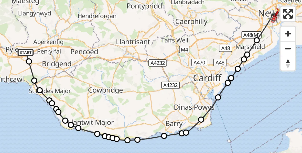
On Wednesday, 21 January 2026 at 15:41, a Air Ambulance Helicopter departed from Cefn Cribwr to Newport. It was the Air Ambulance Helicopter with registration number G-WROL. The flight lasted 22 minutes. During that period, the aircraft travelled 42 miles at an average speed of 115 miles per hour at a maximum altitude of 1875 feet.
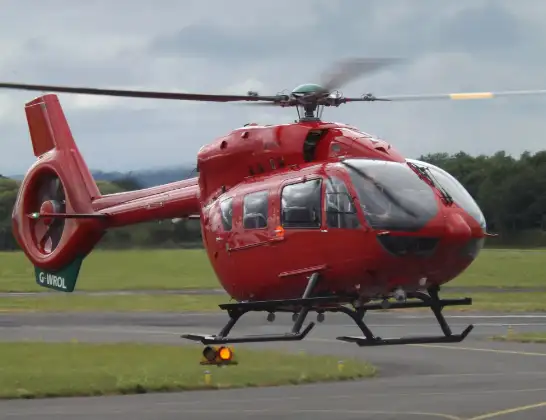
Helicopter: G-WROL
The helicopter G-WROL is used as a air ambulance helicopter. The main purpose of this aircraft is to transport a Mobile Medical Team to an incident as quickly as possible, enabling the trauma doctor to provide immediate first aid on site. The aircraft is flying this flight as Air Ambulance Helicopter.
Photo: James from Cheltenham, Gloucestershire
42 miles
1875 feet
115 mph
22 minutes
15:41
16:03

Route
Cemetery Lane, 16:03
Newport15:58
Marshfield, Newport15:58
Newport15:57
Cardiff15:57
Trowbridge15:56
Tremorfa15:56
Cardiff15:55
Penarth15:54
Sully15:53
Sully and Lavernock15:53
Barry15:52
Rhoose15:50
East Aberthaw15:50
West Aberthaw15:49
St Athan15:49
Eglwys Brewis15:49
Llantwit Major15:48
Boverton15:48
Llantwit Major15:47
St Donats15:46
Marcross15:46
Monknash15:45
Broughton15:45
St. Brides Major15:44
St Brides Major15:44
Southerndown15:43
Ogmore-by-Sea15:42
Tythegston15:41
Ty Fry Road, 15:41
Live flights
Police Helicopter on its way from Ewelme13 Jul 22:24
Today
Police Helicopter to Bournemouth Airport13 Jul 23:55
Air Ambulance Helicopter to Cardiff Heliport13 Jul 23:38
Police Helicopter to Birmingham Airport13 Jul 23:21
Police Helicopter to Irlam, Twelve Yards Road13 Jul 23:00
Flights Newport
Air Ambulance Helicopter to Newport, Dodnor Lane19 Jun 12:45
Air Ambulance Helicopter to Newport, Dodnor Lane14 Jun 18:24
Coastguard Helicopter to Solent Airport12 Jun 02:40
Helicopter flights on your website?
You can easily display helicopter flights on your own website. Use the embed code.
