Police Helicopter to Newcastle upon Tyne, Falcon Way
Tuesday, 20 January 2026 | 18:43 | From Crook
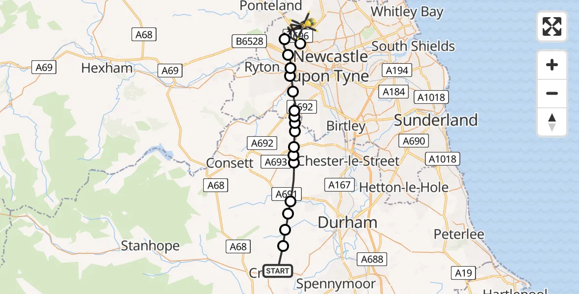
On Tuesday, 20 January 2026 at 18:43, a Police Helicopter departed from Crook to Newcastle upon Tyne. It was the Police Helicopter with registration number G-POLA. The flight lasted 9 minutes. During that period, the aircraft travelled 25 miles at an average speed of 172 miles per hour at a maximum altitude of 1975 feet.
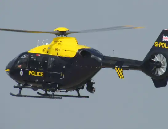
Helicopter: G-POLA
The helicopter G-POLA is used by the British police. The helicopter is deployed in pursuits, missing persons cases and other incidents where a helicopter provides added value.
Photo: ozz13x
26 miles
1975 feet
172 mph
9 minutes
18:43
18:52

Route
Falcon Way, North East18:52
Newcastle upon Tyne, North East18:51
Callerton, Newcastle upon Tyne18:50
Blucher, Newcastle upon Tyne18:50
Newcastle upon Tyne, North East18:49
Blaydon on Tyne, North East18:49
Swalwell, Gateshead18:49
Sunniside, Gateshead18:48
Gateshead, North East18:48
Sleepy Valley, Stanley18:47
Stanley, North East18:47
Tanfield Lea, Stanley18:47
Quaking Houses, Stanley18:46
Craghead, Stanley18:46
Burnhope, North East18:45
Esh, North East18:45
Esh Winning, North East18:44
Waterhouses, North East18:44
Low Jobs Hill, North East18:43
Live flights
Today
Police Helicopter to Epping Forest, Green Lane26 Feb 23:43
Flights Crook
Air Ambulance Helicopter to Crook, Low Jobs Hill23 Feb 14:28
Helicopter flights on your website?
You can easily display helicopter flights on your own website. Use the embed code.
