to Findhorn, Dunes Road
Monday, 19 January 2026 | 18:56 | From Findhorn
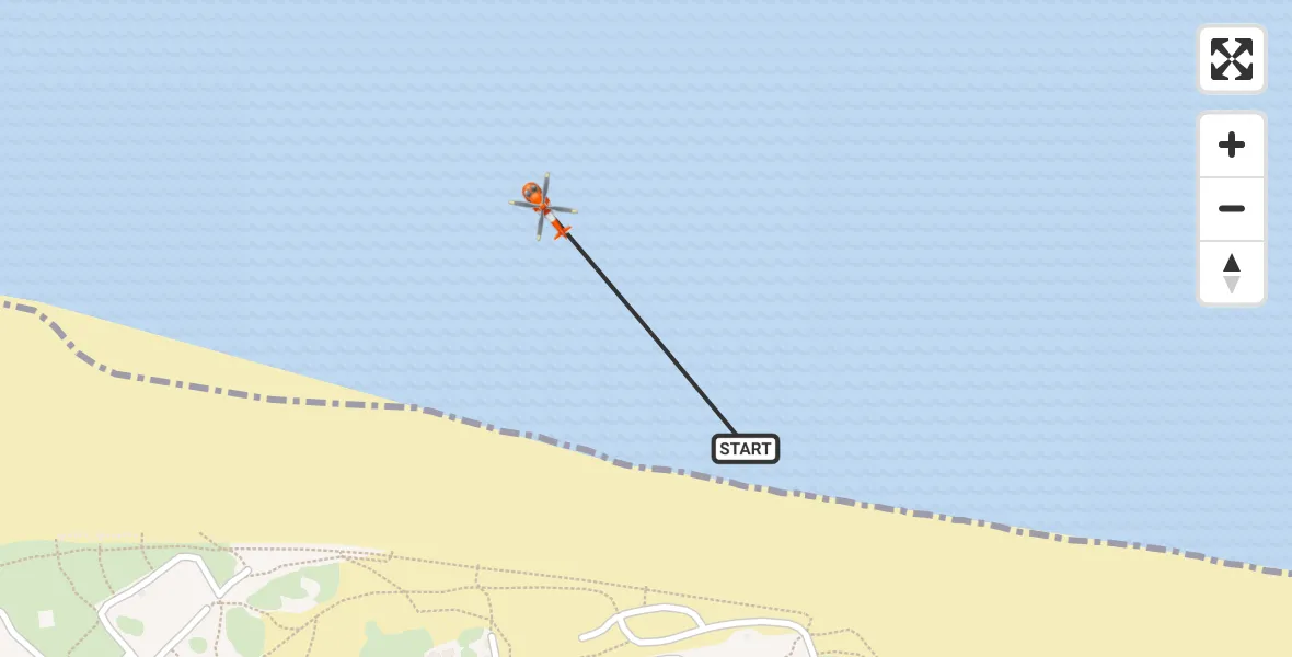
On Monday, 19 January 2026 at 18:56, a Coastguard Helicopter departed from Findhorn to Findhorn. It was the Coastguard Helicopter with registration number G-MCGT. The flight lasted 2 minutes. During that period, the aircraft travelled 0 miles at an average speed of 0 miles per hour at a maximum altitude of 1100 feet.
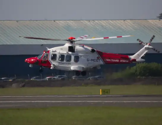
Helicopter: G-MCGT
The helicopter G-MCGT is used by the British Coastguard. The helicopter is deployed in search and rescue operations at sea, rescue operations involving ships or drilling platforms, patrols to prevent smuggling or piracy, environmental monitoring and disaster relief support.
Photo: Ronnie Macdonald
1 miles
1100 feet
0 mph
3 minutes
18:56
18:58

Route
Dunes Road, 18:58
Dunes Road, 18:56
Live flights
Today
Police Helicopter to Epping Forest, Green Lane26 Feb 23:43
Flights Findhorn
Coastguard Helicopter to Findhorn, North Sea22 Feb 21:23
Coastguard Helicopter to Findhorn, Findhorn19 Jan 19:07
Coastguard Helicopter to Findhorn, Findhorn19 Jan 19:01
to Findhorn, Dunes Road19 Jan 18:56
Coastguard Helicopter to Findhorn, Culbin Place17 Jan 11:41
Helicopter flights on your website?
You can easily display helicopter flights on your own website. Use the embed code.
