Air Ambulance Helicopter to Blackpool Airport, Blackpool Airport
Monday, 19 January 2026 | 15:47 | From Thornton le Moors
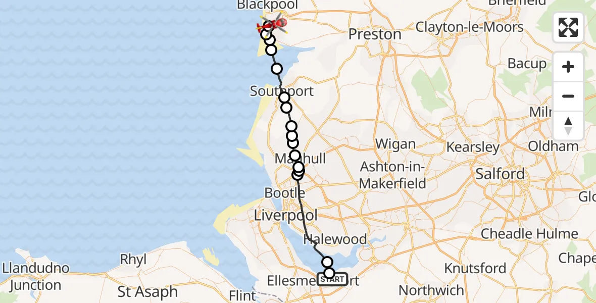
On Monday, 19 January 2026 at 15:47, a Air Ambulance Helicopter departed from Thornton le Moors to Blackpool Airport. It was the Air Ambulance Helicopter with registration number G-NWAA. The flight lasted 16 minutes. During that period, the aircraft travelled 38 miles at an average speed of 148 miles per hour at a maximum altitude of 1100 feet.
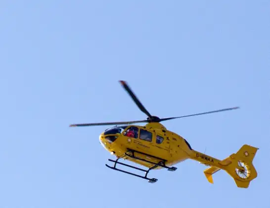
Helicopter: G-NWAA
The helicopter G-NWAA is used as a air ambulance helicopter. The main purpose of this aircraft is to transport a Mobile Medical Team to an incident as quickly as possible, enabling the trauma doctor to provide immediate first aid on site. The aircraft is flying this flight as Air Ambulance Helicopter.
Photo: David P Howard
39 miles
1100 feet
148 mph
16 minutes
15:47
16:02

Route
Blackpool Airport, Blackpool16:02
Blackpool Airport, Blackpool16:02
Fylde, Lancashire16:01
Lytham St Annes, Fylde16:00
Fylde, Lancashire16:00
West Lancashire, Lancashire15:59
Sefton, Southport15:57
West Lancashire, Lancashire15:57
Halsall, West Lancashire15:56
Haskayne, West Lancashire15:55
Downholland, West Lancashire15:55
Lydiate, Liverpool City Region15:54
Kennessee Green, Maghull15:54
Waddicar, Liverpool City Region15:54
Sefton, Litherland15:53
Liverpool, Liverpool City Region15:48
Ellesmere Port15:47
Oil Sites Road, 15:47
Live flights
Today
Police Helicopter to Epping Forest, Green Lane26 Feb 23:43
Helicopter flights on your website?
You can easily display helicopter flights on your own website. Use the embed code.
