Air Ambulance Helicopter to Thornton le Moors, Oil Sites Road
Monday, 19 January 2026 | 14:35 | From Lytham St Annes
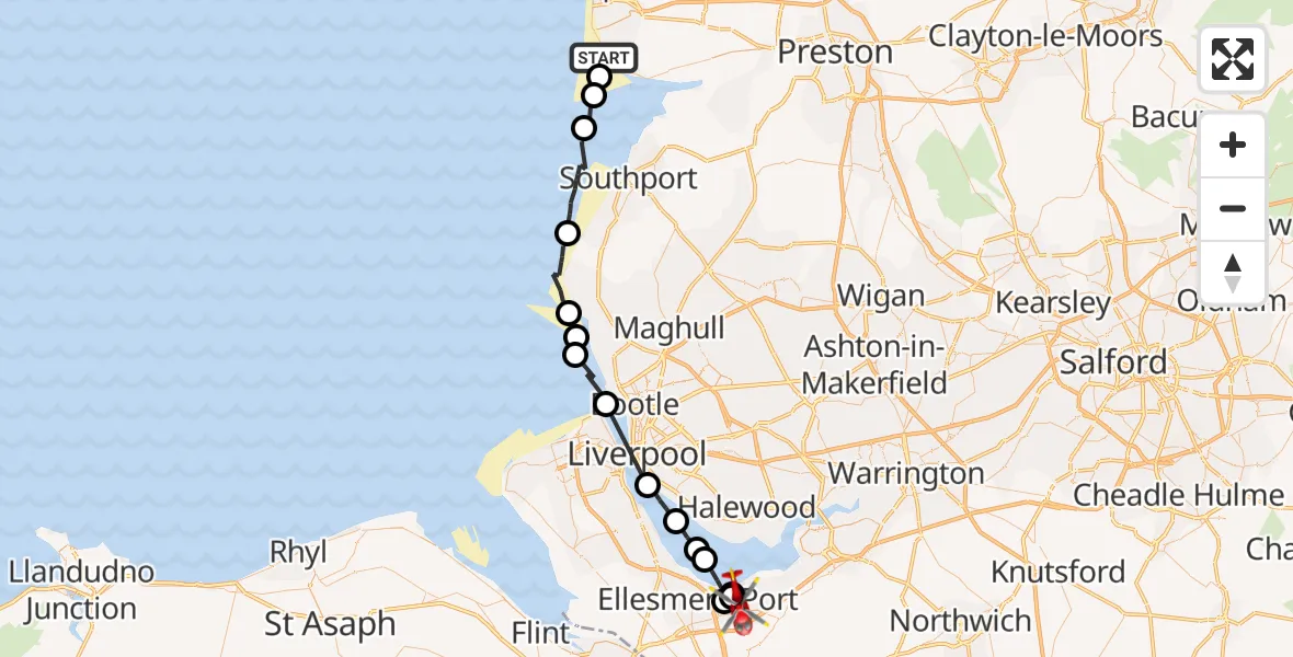
On Monday, 19 January 2026 at 14:35, a Air Ambulance Helicopter departed from Lytham St Annes to Thornton le Moors. It was the Air Ambulance Helicopter with registration number G-NWAA. The flight lasted 22 minutes. During that period, the aircraft travelled 44 miles at an average speed of 122 miles per hour at a maximum altitude of 775 feet.
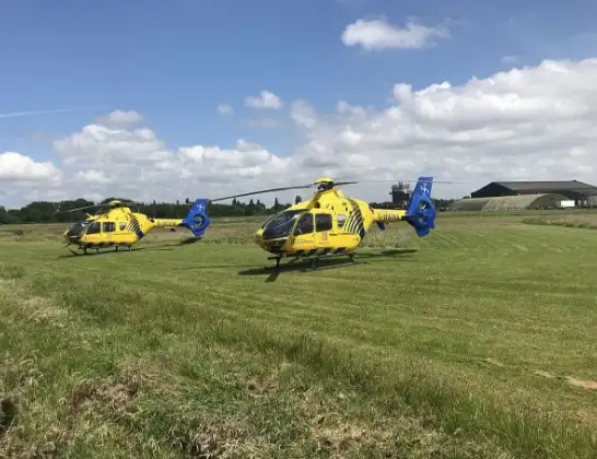
Helicopter: G-NWAA
The helicopter G-NWAA is used as a air ambulance helicopter. The main purpose of this aircraft is to transport a Mobile Medical Team to an incident as quickly as possible, enabling the trauma doctor to provide immediate first aid on site. The aircraft is flying this flight as Air Ambulance Helicopter.
Photo: Legion23
44 miles
775 feet
122 mph
22 minutes
14:35
14:57

Route
Oil Sites Road, 14:57
Thornton le Moors14:55
Ellesmere Port14:54
Thornton le Moors14:53
Ellesmere Port14:51
Liverpool, Liverpool City Region14:50
Bromborough, Wirral14:50
Liverpool, Liverpool City Region14:48
Sefton, Bootle14:45
Sefton, Crosby14:44
Hightown, Liverpool City Region14:43
Sefton, Liverpool City Region14:43
Sefton, Formby14:40
Sefton, Southport14:37
West Lancashire, Lancashire14:36
Fylde, Lancashire14:36
Clifton Drive North, Fylde14:35
Live flights
Today
Police Helicopter to Benson, Clack's Lane30 May 23:59
Air Ambulance Helicopter to Southampton Airport30 May 23:23
Coastguard Helicopter to English Channel30 May 23:12
Police Helicopter to South Nutfield, M2330 May 22:51
Police Helicopter to Manchester Barton Aerodrome30 May 22:31
Coastguard Helicopter to Manston Airport30 May 22:23
Police Helicopter to MOD St Athan30 May 22:09
Helicopter flights on your website?
You can easily display helicopter flights on your own website. Use the embed code.
