Air Ambulance Helicopter to Sefton, Stalls Road
Sunday, 18 January 2026 | 13:15 | From Middleton
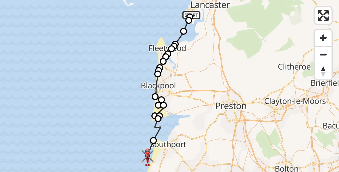
On Sunday, 18 January 2026 at 13:15, a Air Ambulance Helicopter departed from Middleton to Sefton. It was the Air Ambulance Helicopter with registration number G-NWAA. The flight lasted 13 minutes. During that period, the aircraft travelled 36 miles at an average speed of 173 miles per hour at a maximum altitude of 525 feet.
Helicopter: G-NWAA
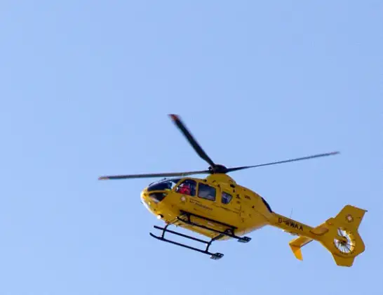
The helicopter G-NWAA is used as a air ambulance helicopter. The main purpose of this aircraft is to transport a Mobile Medical Team to an incident as quickly as possible, enabling the trauma doctor to provide immediate first aid on site. The aircraft is flying this flight as Air Ambulance Helicopter.
Photo: David P Howard
37 miles
525 feet
173 mph
13 minutes
13:15
13:28

Route
13:28
Sefton, Southport13:27
West Lancashire, Lancashire13:25
Fylde, Lancashire13:25
West Lancashire, Lancashire13:24
Lytham St Annes, Fylde13:24
Fylde, Lancashire13:24
Blackpool Airport, Blackpool13:23
Squires Gate, Lancashire13:23
Blackpool, Lancashire13:21
Bispham, Lancashire13:21
Little Bispham, Lancashire13:20
Cleveleys, Wyre13:20
Thornton, Wyre13:19
Fleetwood, Wyre13:19
Knott End-On-Sea, Wyre13:18
Pilling Sands Microlight13:18
Fleetwood, Wyre13:18
Wyre, Lancashire13:17
Overton, Lancaster13:16
Sunderland, Lancaster13:15
Stalls Road, Lancaster13:15
Today
Police Helicopter to Epping Forest, Green Lane26 Feb 23:43
Flights Sefton
Air Ambulance Helicopter to Sefton, Marine Drive20 Jan 12:14
Air Ambulance Helicopter to Sefton, Stalls Road18 Jan 13:15
Flights Middleton
Air Ambulance Helicopter to Eccles, M60230 Jan 16:48
to Middleton, Middleton28 Jan 14:12
Air Ambulance Helicopter to Sefton, Stalls Road18 Jan 13:15
Helicopter flights on your website?
You can easily display helicopter flights on your own website. Use the embed code.
