Police Helicopter to Tilgate, Worcester Road
Saturday, 17 January 2026 | 12:25 | From Reigate and Banstead
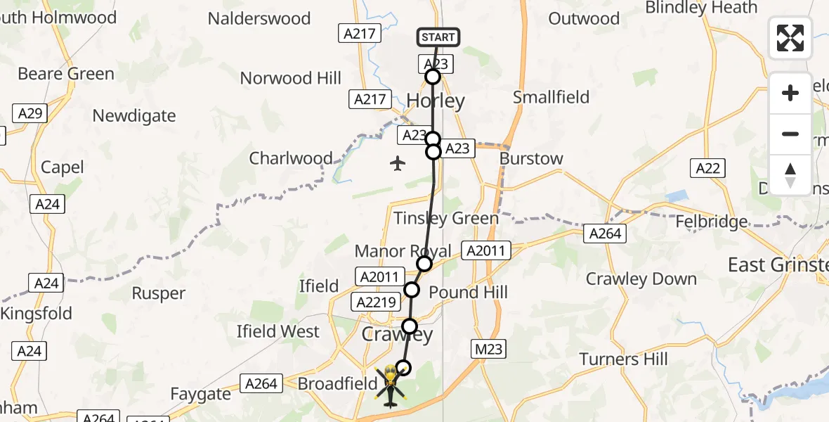
On Saturday, 17 January 2026 at 12:25, a Police Helicopter departed from Reigate and Banstead to Tilgate. It was the Police Helicopter with registration number G-POLH. The flight lasted 3 minutes. During that period, the aircraft travelled 7 miles at an average speed of 135 miles per hour at a maximum altitude of 1000 feet.
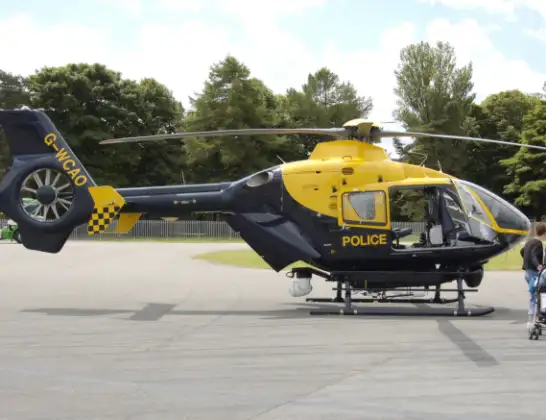
Helicopter: G-POLH
The helicopter G-POLH is used by the British police. The helicopter is deployed in pursuits, missing persons cases and other incidents where a helicopter provides added value.
Photo: Arpingstone
7 miles
1000 feet
135 mph
3 minutes
12:25
12:28

Route
Worcester Road, Crawley12:28
Tilgate, Crawley12:28
Three Bridges, Crawley12:28
Northgate, Crawley12:27
Manor Royal, Crawley12:27
London Gatwick Airport, London12:26
Crawley12:26
Horley, Reigate and Banstead12:26
Footpath 392, 12:25
Live flights
Today
Police Helicopter to Epping Forest, Green Lane26 Feb 23:43
Flights Tilgate
Police Helicopter to Tilgate, Worcester Road17 Jan 12:25
Helicopter flights on your website?
You can easily display helicopter flights on your own website. Use the embed code.
