Air Ambulance Helicopter to Epping Green, Pump Lane
Saturday, 17 January 2026 | 12:12 | From Basildon
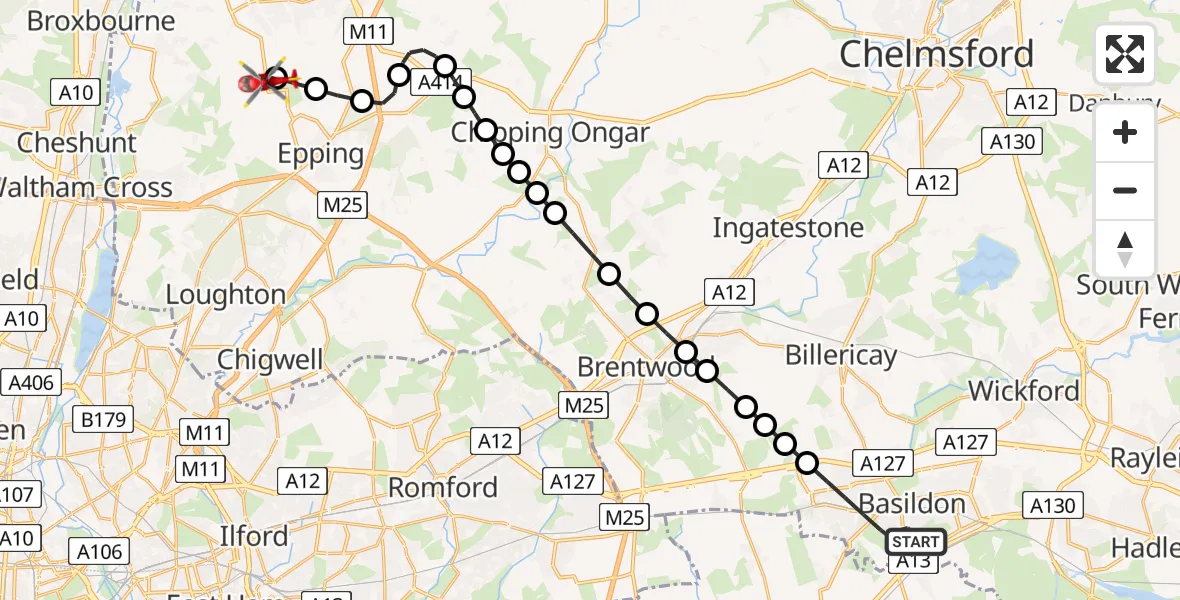
On Saturday, 17 January 2026 at 12:12, a Air Ambulance Helicopter departed from Basildon to Epping Green. It was the Air Ambulance Helicopter with registration number G-EHAT. The flight lasted 14 minutes. During that period, the aircraft travelled 26 miles at an average speed of 110 miles per hour at a maximum altitude of 950 feet.
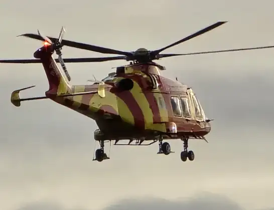
Helicopter: G-EHAT
The helicopter G-EHAT is used as a air ambulance helicopter. The main purpose of this aircraft is to transport a Mobile Medical Team to an incident as quickly as possible, enabling the trauma doctor to provide immediate first aid on site. The aircraft is flying this flight as Air Ambulance Helicopter.
Photo: By Steve Knight
26 miles
950 feet
110 mph
15 minutes
12:12
12:27

Route
Pump Lane, Epping Forest12:27
Epping Green, Epping Forest12:24
Thornwood Common, Epping Forest12:24
North Weald Bassett, Epping Forest12:23
North Weald Airfield, Epping, Essex12:23
North Weald Bassett, Epping Forest12:21
Epping Forest, Essex12:21
Greensted Green, Epping Forest12:20
Stanford Rivers, Epping Forest12:20
Epping Forest, Essex12:20
Little End, Epping Forest12:20
Clapgate, Brentwood12:19
Kelvedon Hatch, Brentwood12:19
Pilgrims' Hatch, Brentwood12:18
Brentwood, Essex12:18
Hutton, Brentwood12:17
Brentwood, Essex12:17
Herongate, Brentwood12:17
Brentwood, Essex12:16
West Horndon, Basildon12:16
Nether Mayne, Essex12:12
Live flights
Today
Flights Basildon
Air Ambulance Helicopter to Earls Colne Airfield12 Jul 16:37
Air Ambulance Helicopter to North Weald Airfield12 Jul 15:15
Air Ambulance Helicopter to Basildon, Merrylands12 Jul 14:54
Helicopter flights on your website?
You can easily display helicopter flights on your own website. Use the embed code.
