Police Helicopter to Salfords, Mason's Bridge Road
Saturday, 17 January 2026 | 1:49 | From Mole Valley
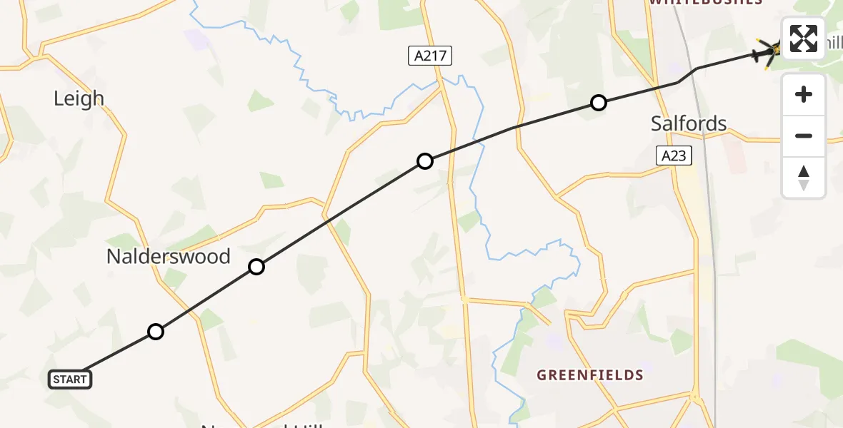
On Saturday, 17 January 2026 at 1:49, a Police Helicopter departed from Mole Valley to Salfords. It was the Police Helicopter with registration number G-POLH. The flight lasted 2 minutes. During that period, the aircraft travelled 5 miles at an average speed of 124 miles per hour at a maximum altitude of 1100 feet.
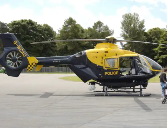
Helicopter: G-POLH
The helicopter G-POLH is used by the British police. The helicopter is deployed in pursuits, missing persons cases and other incidents where a helicopter provides added value.
Photo: Arpingstone
5 miles
1100 feet
124 mph
3 minutes
01:49
01:51

Route
Mason's Bridge Road, Reigate and Banstead01:51
Salfords, Reigate and Banstead01:50
Reigate and Banstead01:50
Norwood Hill, Reigate and Banstead01:49
Norwood Hill, Mole Valley01:49
Mole Valley, 01:49
Live flights
Today
Flights Salfords
Air Ambulance Helicopter to Redhill Aerodrome11 Jul 14:04
Police Helicopter to North Weald Bassett28 Jun 14:38
Air Ambulance Helicopter to Redhill Aerodrome10 Jun 09:33
Police Helicopter to Aldenham, Wards Lane8 Jun 08:55
Police Helicopter to South Nutfield, M236 Jun 19:01
Police Helicopter to Redhill Aerodrome6 Jun 00:03
Police Helicopter to Fishbourne, Westgate4 Jun 11:45
Helicopter flights on your website?
You can easily display helicopter flights on your own website. Use the embed code.
