Air Ambulance Helicopter to Redhill Aerodrome, Redhill Aerodrome
Saturday, 17 January 2026 | 0:13 | From Kempton Park
On Saturday, 17 January 2026 at 0:13, a Air Ambulance Helicopter departed from Kempton Park to Redhill Aerodrome. It was the Air Ambulance Helicopter with registration number G-KSSC. The flight lasted 14 minutes. During that period, the aircraft travelled 22 miles at an average speed of 100 miles per hour at a maximum altitude of 1400 feet.
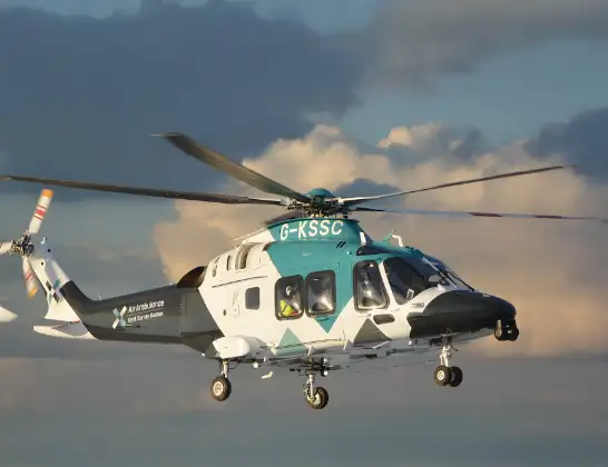
Helicopter: G-KSSC
The helicopter G-KSSC is used as a air ambulance helicopter. The main purpose of this aircraft is to transport a Mobile Medical Team to an incident as quickly as possible, enabling the trauma doctor to provide immediate first aid on site. The aircraft is flying this flight as Air Ambulance Helicopter.
Photo: Shona aakss
23 miles
1400 feet
100 mph
14 minutes
00:13
00:26

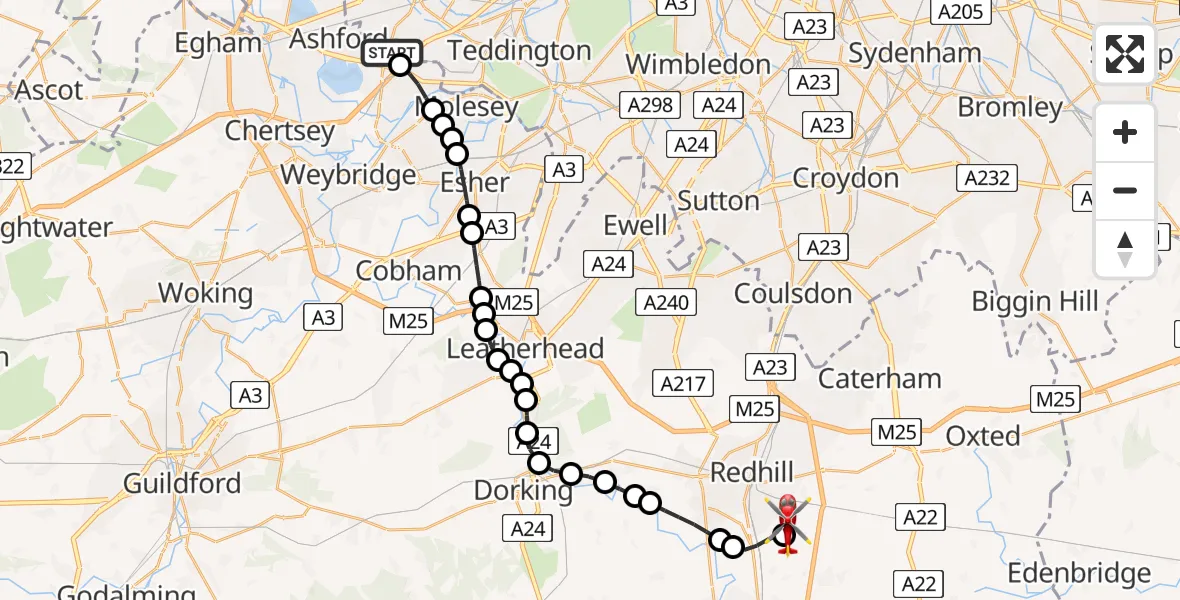
Route
Redhill Aerodrome, Redhill, Surrey00:26
Redhill Aerodrome, Redhill, Surrey00:25
Salfords, Reigate and Banstead00:24
Reigate and Banstead00:24
Reigate, Reigate and Banstead00:22
Reigate and Banstead00:22
Betchworth, Mole Valley00:22
Brockham, Mole Valley00:21
Pixham, Mole Valley00:21
Westhumble, Mole Valley00:20
Mickleham, Mole Valley00:20
Givons Grove, Mole Valley00:19
Leatherhead, Mole Valley00:19
Hawk's Hill, Mole Valley00:19
Fetcham, Mole Valley00:18
Mole Valley00:18
Stoke D'Abernon, Elmbridge00:18
Oxshott, Elmbridge00:17
West End, Elmbridge00:17
Esher, Elmbridge00:16
Elmbridge00:15
Queen Elizabeth II Reservoir00:15
Elmbridge00:15
The Avenue, 00:14
Spelthorne00:14
Kempton Park, Spelthorne00:13
Live flights
Today
Helicopter flights on your website?
You can easily display helicopter flights on your own website. Use the embed code.
