Police Helicopter to University Hospital Southampton, Lordsdale Greenway
Friday, 16 January 2026 | 20:01 | From Owslebury
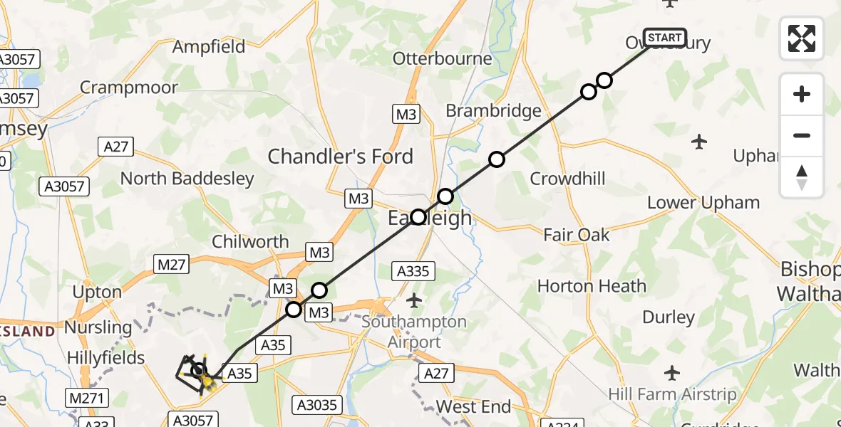
On Friday, 16 January 2026 at 20:01, a Police Helicopter departed from Owslebury to University Hospital Southampton. It was the Police Helicopter with registration number G-BZRS. The flight lasted 6 minutes. During that period, the aircraft travelled 10 miles at an average speed of 107 miles per hour at a maximum altitude of 1500 feet.
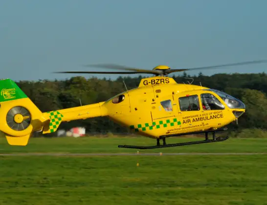
Helicopter: G-BZRS
The helicopter G-BZRS is used by the British police. The helicopter is deployed in pursuits, missing persons cases and other incidents where a helicopter provides added value.
Photo: NMOS332
11 miles
1500 feet
107 mph
6 minutes
20:01
20:07

Route
University Hospital Southampton, Southampton20:07
University Hospital Southampton, Southampton20:07
Lordsdale Greenway, 20:06
Southampton20:05
Chilworth, Test Valley20:04
Eastleigh20:03
Allbrook, Eastleigh20:03
Bishopstoke, Eastleigh20:03
Colden Common, Winchester20:02
Fisher's Pond, Winchester20:02
Beech Grove, Winchester20:01
Today
Police Helicopter to Epping Forest, Green Lane26 Feb 23:43
Flights Owslebury
Helicopter flights on your website?
You can easily display helicopter flights on your own website. Use the embed code.
