Air Ambulance Helicopter to Donnington, Turreff Avenue
Friday, 16 January 2026 | 15:54 | From RAF Cosford
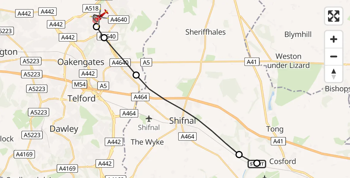
On Friday, 16 January 2026 at 15:54, a Air Ambulance Helicopter departed from RAF Cosford to Donnington. It was the Air Ambulance Helicopter with registration number G-RMAA. The flight lasted 5 minutes. During that period, the aircraft travelled 8 miles at an average speed of 90 miles per hour at a maximum altitude of 1275 feet.
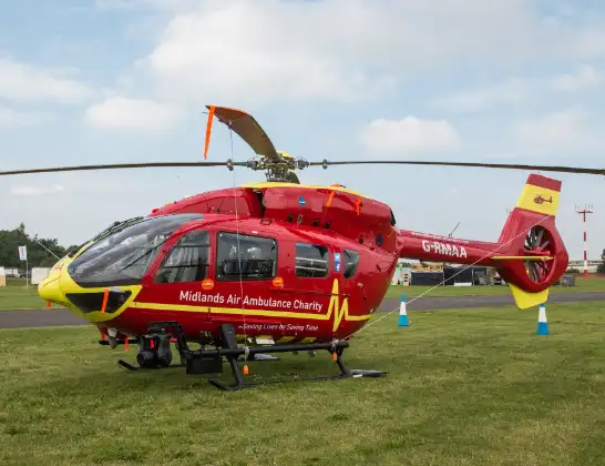
Helicopter: G-RMAA
The helicopter G-RMAA is used as a air ambulance helicopter. The main purpose of this aircraft is to transport a Mobile Medical Team to an incident as quickly as possible, enabling the trauma doctor to provide immediate first aid on site. The aircraft is flying this flight as Air Ambulance Helicopter.
Photo: Steve Lynes
8 miles
1275 feet
90 mph
6 minutes
15:54
15:59

Route
Turreff Avenue, 15:59
Donnington15:58
Wrockwardine Wood and Trench15:58
Priorslee Village15:57
Shifnal15:55
Cosford15:54
Airbase Avenue, 15:54
Today
Police Helicopter to Epping Forest, Green Lane26 Feb 23:43
Flights Donnington
Air Ambulance Helicopter to University Hospital North Staffs, University Hospital North Staffs16 Jan 16:46
Helicopter flights on your website?
You can easily display helicopter flights on your own website. Use the embed code.
