Air Ambulance Helicopter to Kewstoke, Beach Road
Friday, 16 January 2026 | 12:04 | From Almondsbury Helicopter Base
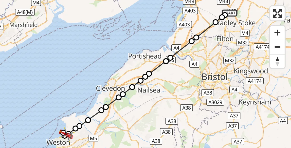
On Friday, 16 January 2026 at 12:04, a Air Ambulance Helicopter departed from Almondsbury Helicopter Base to Kewstoke. It was the Air Ambulance Helicopter with registration number G-GWAC. The flight lasted 11 minutes. During that period, the aircraft travelled 23 miles at an average speed of 119 miles per hour at a maximum altitude of 1550 feet.
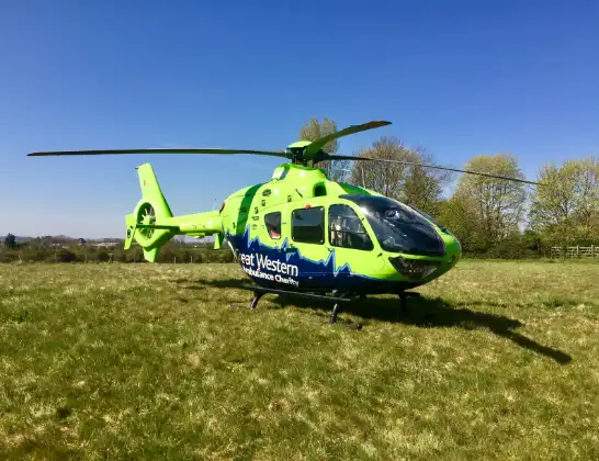
Helicopter: G-GWAC
The helicopter G-GWAC is used as a air ambulance helicopter. The main purpose of this aircraft is to transport a Mobile Medical Team to an incident as quickly as possible, enabling the trauma doctor to provide immediate first aid on site. The aircraft is flying this flight as Air Ambulance Helicopter.
Photo: Mojo0306
23 miles
1550 feet
119 mph
12 minutes
12:04
12:15

Route
Kewstoke12:15
Beach Road, 12:14
Weston-super-Mare12:14
Norton12:14
Worle12:13
Worle, Weston-super-Mare12:13
Icelton12:12
Kingston Seymour12:12
Clevedon12:11
Kenn12:11
Clevedon12:10
Tickenham12:10
Clevedon12:09
Bristol12:09
Clapton-in-Gordano12:09
Portbury12:08
Easton in Gordano12:08
Bristol, West of England12:06
Hallen, West of England12:06
Catbrain, West of England12:05
Patchway, West of England12:04
Gloucester Road, West of England12:04
Almondsbury Helicopter Base, Bristol, Somerset12:04
Live flights
Today
Police Helicopter to Epping Forest, Green Lane26 Feb 23:43
Flights Kewstoke
Air Ambulance Helicopter to Kewstoke, Beach Road16 Jan 12:04
Helicopter flights on your website?
You can easily display helicopter flights on your own website. Use the embed code.
