Coastguard Helicopter to Beddgelert, Miners' Track
Friday, 16 January 2026 | 10:46 | From Nant Peris
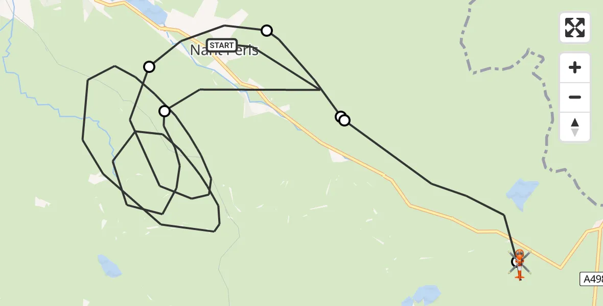
On Friday, 16 January 2026 at 10:46, a Coastguard Helicopter departed from Nant Peris to Beddgelert. It was the Coastguard Helicopter with registration number G-MCGZ. The flight lasted 23 minutes. During that period, the aircraft travelled 15 miles at an average speed of 42 miles per hour at a maximum altitude of 3025 feet.
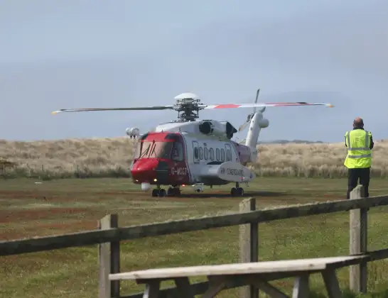
Helicopter: G-MCGZ
The helicopter G-MCGZ is used by the British Coastguard. The helicopter is deployed in search and rescue operations at sea, rescue operations involving ships or drilling platforms, patrols to prevent smuggling or piracy, environmental monitoring and disaster relief support.
Photo: Andrewrabbott
16 miles
3025 feet
42 mph
23 minutes
10:46
11:08

Route
Miners' Track, 11:08
Beddgelert10:59
Llanberis10:58
Nant Peris10:58
Llanberis10:57
Nant Peris10:56
Llanberis10:48
Nant Ffynnon, 10:46
Live flights
Police Helicopter on its way from Dundrod12 Jul 22:50
Today
Police Helicopter to East Ardsley, Stoney Lane12 Jul 23:51
Police Helicopter to Birmingham Airport12 Jul 23:46
Air Ambulance Helicopter to Newlands of Culloden12 Jul 23:24
Flights Beddgelert
Coastguard Helicopter to Beddgelert, Pyg Track24 May 14:59
Coastguard Helicopter to Beddgelert, Pyg Track24 May 14:51
Coastguard Helicopter to Beddgelert, Pyg Track24 May 14:47
Coastguard Helicopter to Beddgelert, Pyg Track24 May 14:42
Coastguard Helicopter to Beddgelert, Crib Goch24 May 14:02
Coastguard Helicopter to Beddgelert, Crib Goch24 May 13:49
Coastguard Helicopter to Caernarfon Airport18 May 16:22
Helicopter flights on your website?
You can easily display helicopter flights on your own website. Use the embed code.
