Coastguard Helicopter to Kirkwall, Inganess Road
Thursday, 15 January 2026 | 20:50 | From North Atlantic Ocean
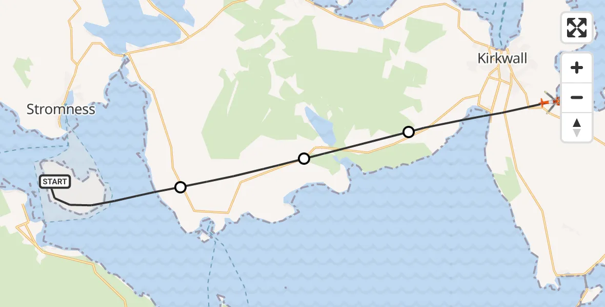
On Thursday, 15 January 2026 at 20:50, a Coastguard Helicopter departed from North Atlantic Ocean to Kirkwall. It was the Coastguard Helicopter with registration number G-MCGL. The flight lasted 39 minutes. During that period, the aircraft travelled 15 miles at an average speed of 23 miles per hour at a maximum altitude of 1550 feet.
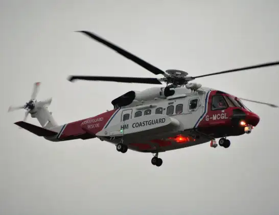
Helicopter: G-MCGL
The helicopter G-MCGL is used by the British Coastguard. The helicopter is deployed in search and rescue operations at sea, rescue operations involving ships or drilling platforms, patrols to prevent smuggling or piracy, environmental monitoring and disaster relief support.
Photo: Jonathan Payne
15 miles
1550 feet
23 mph
39 minutes
20:50
21:29

Route
Inganess Road, 21:29
Kirkwall21:27
Kirbister21:26
Orphir21:25
North Atlantic Ocean, 21:23
North Atlantic Ocean20:50
Today
Police Helicopter to Epping Forest, Green Lane26 Feb 23:43
Flights Kirkwall
Air Ambulance Aircraft to Kirkwall, A9646 Feb 22:31
Coastguard Helicopter to Kirkwall, Inganess Road30 Jan 21:25
Air Ambulance Aircraft to Kirkwall, A96422 Jan 03:09
Air Ambulance Aircraft to Kirkwall, A96420 Jan 17:04
Air Ambulance Aircraft to Kirkwall, A96416 Jan 16:14
Coastguard Helicopter to Kirkwall, Inganess Road15 Jan 21:58
Coastguard Helicopter to Kirkwall, Inganess Road15 Jan 20:50
Helicopter flights on your website?
You can easily display helicopter flights on your own website. Use the embed code.
