Air Ambulance Helicopter to North Kesteven, Sleaford Road
Thursday, 15 January 2026 | 9:47 | From West Lindsey
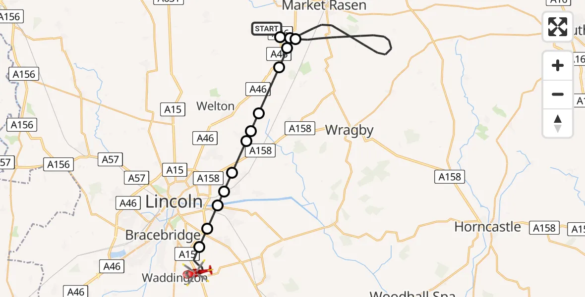
On Thursday, 15 January 2026 at 9:47, a Air Ambulance Helicopter departed from West Lindsey to North Kesteven. It was the Air Ambulance Helicopter with registration number G-LNCC. The flight lasted 15 minutes. During that period, the aircraft travelled 28 miles at an average speed of 115 miles per hour at a maximum altitude of 3050 feet.
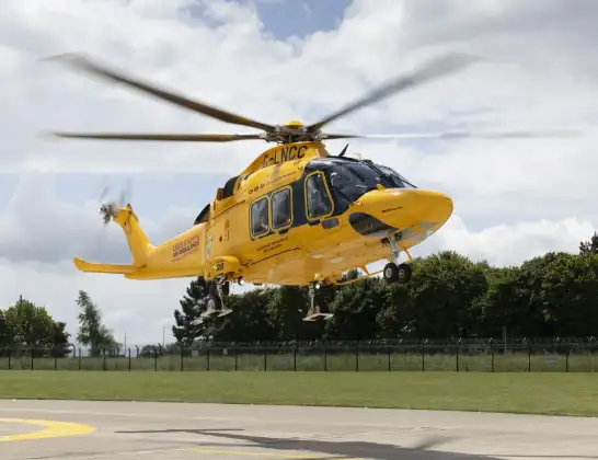
Helicopter: G-LNCC
The helicopter G-LNCC is used as a air ambulance helicopter. The main purpose of this aircraft is to transport a Mobile Medical Team to an incident as quickly as possible, enabling the trauma doctor to provide immediate first aid on site. The aircraft is flying this flight as Air Ambulance Helicopter.
Photo: Lincs & Notts
29 miles
3050 feet
115 mph
15 minutes
09:47
10:02

Route
Sleaford Road, Greater Lincolnshire10:02
North Kesteven, Greater Lincolnshire10:00
Canwick, North Kesteven09:59
Washingborough, North Kesteven09:59
Cherry Willingham, West Lindsey09:58
Reepham CP, West Lindsey09:58
Sudbrooke, West Lindsey09:57
Scothern, Lincoln09:56
Dunholme CP, West Lindsey09:56
West Lindsey, Greater Lincolnshire09:54
Faldingworth CP, West Lindsey09:54
West Lindsey, Greater Lincolnshire09:48
Middle Rasen, West Lindsey09:48
Faldingworth CP, West Lindsey09:47
West Lindsey, Greater Lincolnshire09:47
Today
Helicopter flights on your website?
You can easily display helicopter flights on your own website. Use the embed code.
