Air Ambulance Helicopter to East Kirkby Airfield
Wednesday, 14 January 2026 | 14:22 | From East Lindsey
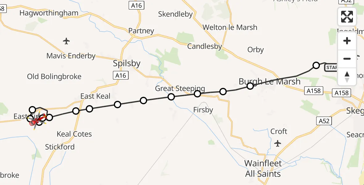
On Wednesday, 14 January 2026 at 14:22, a Air Ambulance Helicopter departed from East Lindsey to East Kirkby Airfield. It was the Air Ambulance Helicopter with registration number G-LNCC. The flight lasted 8 minutes. During that period, the aircraft travelled 15 miles at an average speed of 116 miles per hour at a maximum altitude of 850 feet.
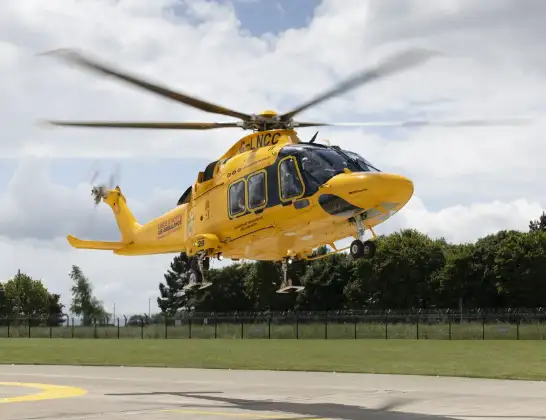
Helicopter: G-LNCC
The helicopter G-LNCC is used as a air ambulance helicopter. The main purpose of this aircraft is to transport a Mobile Medical Team to an incident as quickly as possible, enabling the trauma doctor to provide immediate first aid on site. The aircraft is flying this flight as Air Ambulance Helicopter.
Photo: Lincs & Notts
16 miles
850 feet
116 mph
8 minutes
14:22
14:30

Route
East Kirkby Airfield, Spilsby, Lincolnshire14:30
East Kirkby Airfield, Spilsby, Lincolnshire14:29
East Kirkby, East Lindsey14:28
(Duplicete)East Kirkby Airfield, East Kirkby14:28
East Kirkby Airfield, Spilsby, Lincolnshire14:28
East Kirkby, East Lindsey14:28
West Keal, East Lindsey14:27
East Keal, East Lindsey14:27
Toynton All Saints, East Lindsey14:26
Toynton St Peter, East Lindsey14:26
Little Steeping, East Lindsey14:25
Great Steeping, East Lindsey14:25
Irby in the Marsh, East Lindsey14:24
Bratoft, East Lindsey14:24
Burgh Le Marsh, East Lindsey14:22
East Lindsey, Greater Lincolnshire14:22
Today
Helicopter flights on your website?
You can easily display helicopter flights on your own website. Use the embed code.
