Air Ambulance Helicopter to Bridlington, Saint Thomas Road
Wednesday, 14 January 2026 | 9:39 | From Old Malton
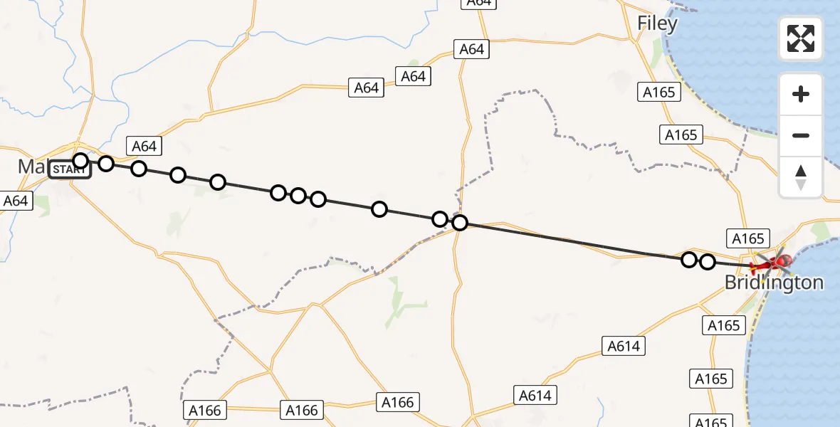
On Wednesday, 14 January 2026 at 9:39, a Air Ambulance Helicopter departed from Old Malton to Bridlington. It was the Air Ambulance Helicopter with registration number G-YAAA. The flight lasted 9 minutes. During that period, the aircraft travelled 24 miles at an average speed of 158 miles per hour at a maximum altitude of 1600 feet.
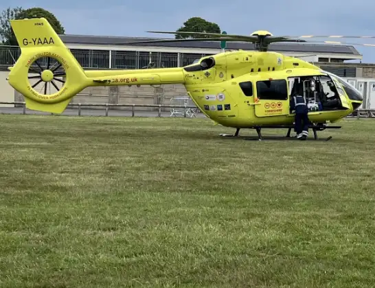
Helicopter: G-YAAA
The helicopter G-YAAA is used as a air ambulance helicopter. The main purpose of this aircraft is to transport a Mobile Medical Team to an incident as quickly as possible, enabling the trauma doctor to provide immediate first aid on site. The aircraft is flying this flight as Air Ambulance Helicopter.
Photo: Jennifer Petrie
25 miles
1600 feet
158 mph
10 minutes
09:39
09:48

Route
Saint Thomas Road, Hull and East Yorkshire09:48
Bridlington, Hull and East Yorkshire09:47
Boynton, Hull and East Yorkshire09:47
Rudston, Hull and East Yorkshire09:45
Foxholes, York and North Yorkshire09:44
Weaverthorpe, York and North Yorkshire09:44
Helperthorpe, York and North Yorkshire09:43
West Lutton, York and North Yorkshire09:43
Kirby Grindalythe, York and North Yorkshire09:42
Wintringham, York and North Yorkshire09:42
Thorpe Bassett, York and North Yorkshire09:41
Scagglethorpe, York and North Yorkshire09:41
Settrington, York and North Yorkshire09:40
Norton-on-Derwent, York and North Yorkshire09:40
Town Street Old Malton, Malton09:39
Today
Flights Bridlington
Air Ambulance Helicopter to RAF Topcliffe28 Jun 17:28
Air Ambulance Helicopter to Bridlington28 Jun 16:20
Air Ambulance Helicopter to RAF Topcliffe27 Jun 19:13
Coastguard Helicopter to Humberside Airport27 Jun 15:31
Coastguard Helicopter to Humberside Airport12 Jun 16:22
Coastguard Helicopter to Humberside Airport11 Jun 10:25
Coastguard Helicopter to Bridlington11 Jun 09:10
Helicopter flights on your website?
You can easily display helicopter flights on your own website. Use the embed code.
