Police Helicopter to Harpford, Harpford
Tuesday, 13 January 2026 | 23:01 | From Rockbeare
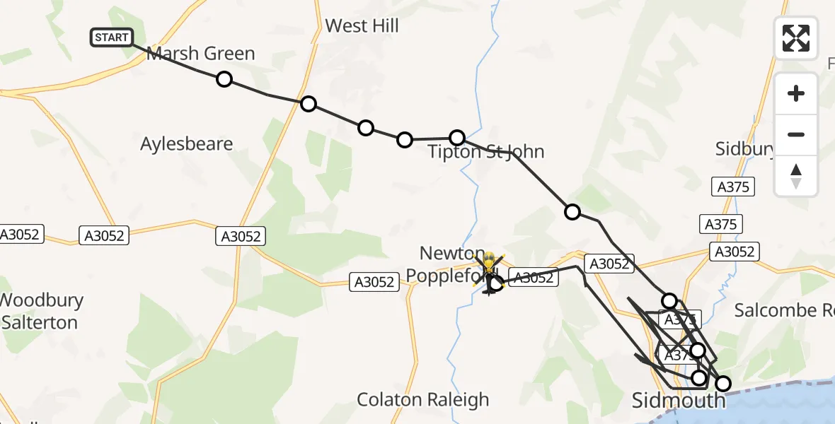
On Tuesday, 13 January 2026 at 23:01, a Police Helicopter departed from Rockbeare to Harpford. It was the Police Helicopter with registration number G-CPAS. The flight lasted 20 minutes. During that period, the aircraft travelled 19 miles at an average speed of 58 miles per hour at a maximum altitude of 1625 feet.
Helicopter: G-CPAS
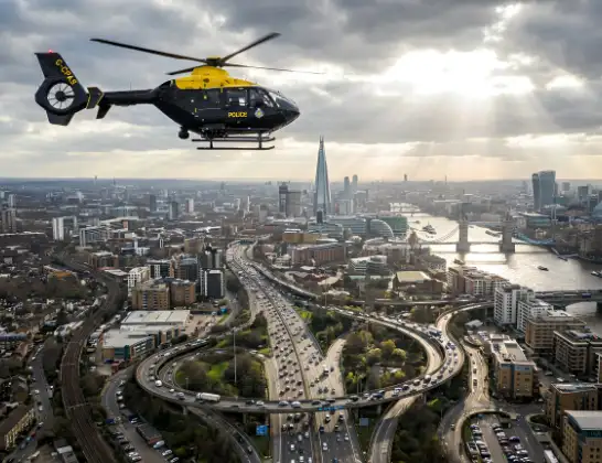
The helicopter G-CPAS is used by the British police. The helicopter is deployed in pursuits, missing persons cases and other incidents where a helicopter provides added value.
19 miles
1625 feet
58 mph
20 minutes
23:01
23:21

Route
Harpford, East Devon23:21
Harpford, East Devon23:21
Sidmouth, East Devon23:10
Salcombe Regis, Sidmouth23:10
Sidmouth, East Devon23:09
Salcombe Regis, Sidmouth23:09
Sidmouth, East Devon23:04
Tipton St John, East Devon23:03
West Hill, East Devon23:03
East Devon, Devon and Torbay23:02
West Hill, East Devon23:02
Aylesbeare, East Devon23:02
Silver Lane, East Devon23:01
Today
Police Helicopter to Epping Forest, Green Lane26 Feb 23:43
Flights Harpford
Police Helicopter to Harpford, Harpford13 Jan 23:01
Flights Rockbeare
Police Helicopter to Rockbeare, Silver Lane22 Feb 20:37
Police Helicopter to Rockbeare, Silver Lane20 Feb 19:12
Police Helicopter to Rockbeare, Silver Lane19 Feb 15:21
Police Helicopter to Clyst Honiton, Churchside14 Feb 14:35
Police Helicopter to Rockbeare, Silver Lane12 Feb 18:20
Helicopter flights on your website?
You can easily display helicopter flights on your own website. Use the embed code.
