Air Ambulance Helicopter to Plumpton, B6413
Tuesday, 13 January 2026 | 17:30 | From Penrith
On Tuesday, 13 January 2026 at 17:30, a Air Ambulance Helicopter departed from Penrith to Plumpton. It was the Air Ambulance Helicopter with registration number G-NHAE. The flight lasted 6 minutes. During that period, the aircraft travelled 356 miles at an average speed of 3333 miles per hour at a maximum altitude of 5925 feet.
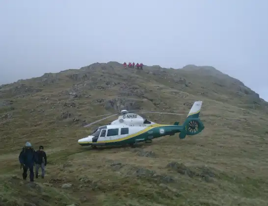
Helicopter: G-NHAE
The helicopter G-NHAE is used as a air ambulance helicopter. The main purpose of this aircraft is to transport a Mobile Medical Team to an incident as quickly as possible, enabling the trauma doctor to provide immediate first aid on site. The aircraft is flying this flight as Air Ambulance Helicopter.
Photo: Michael Earnshaw
357 miles
5925 feet
3333 mph
7 minutes
17:30
17:37

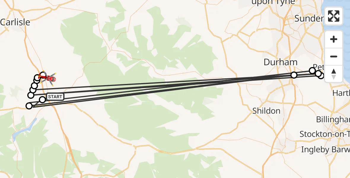
Route
B6413, 17:37
Plumpton17:36
Calthwaite17:36
Skelton17:36
Great Blencow17:35
Johnby17:35
Wingate, North East17:35
Little Blencow17:35
Castle Eden, North East17:34
Wheatley Hill, North East17:34
Greystoke17:34
Parkhill, North East17:33
Newbiggin17:32
Penrith, 17:30
Live flights
Today
Police Helicopter to Epping Forest, Green Lane26 Feb 23:43
Flights Plumpton
Air Ambulance Helicopter to Plumpton, B641313 Jan 17:30
Flights Penrith
Air Ambulance Helicopter to Plumpton, B641313 Jan 17:30
Helicopter flights on your website?
You can easily display helicopter flights on your own website. Use the embed code.
