Air Ambulance Helicopter to Fen Ditton, High Ditch Road
Tuesday, 13 January 2026 | 8:29 | From South Cambridgeshire
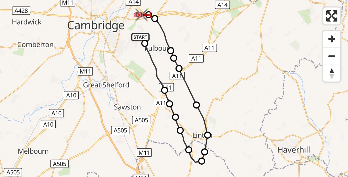
On Tuesday, 13 January 2026 at 8:29, a Air Ambulance Helicopter departed from South Cambridgeshire to Fen Ditton. It was the Air Ambulance Helicopter with registration number G-SCAA. The flight lasted 10 minutes. During that period, the aircraft travelled 21 miles at an average speed of 129 miles per hour at a maximum altitude of 1225 feet.
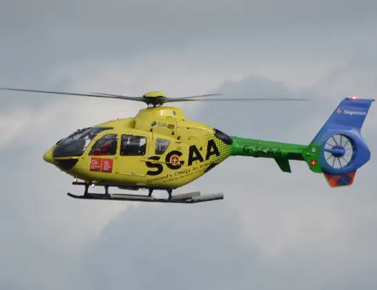
Helicopter: G-SCAA
The helicopter G-SCAA is used as a air ambulance helicopter. The main purpose of this aircraft is to transport a Mobile Medical Team to an incident as quickly as possible, enabling the trauma doctor to provide immediate first aid on site. The aircraft is flying this flight as Air Ambulance Helicopter.
Photo: Jonathan Payne
22 miles
1225 feet
129 mph
10 minutes
08:29
08:39

Route
High Ditch Road, South Cambridgeshire08:39
Fen Ditton, South Cambridgeshire08:38
Stow cum Quy, South Cambridgeshire08:38
Fulbourn, South Cambridgeshire08:37
Great Wilbraham, South Cambridgeshire08:37
Fulbourn, South Cambridgeshire08:37
Balsham, South Cambridgeshire08:35
Linton, South Cambridgeshire08:34
Hadstock, Uttlesford08:34
Uttlesford, Essex08:34
Hadstock, Uttlesford08:33
Linton, South Cambridgeshire08:32
Hildersham, South Cambridgeshire08:32
Little Abington, South Cambridgeshire08:31
Babraham, South Cambridgeshire08:31
Fulbourn, South Cambridgeshire08:29
Gazelle Way, Cambridgeshire and Peterborough08:29
Live flights
Police Helicopter on its way from Dundrod12 Jul 22:50
Today
Police Helicopter to East Ardsley, Stoney Lane12 Jul 23:51
Police Helicopter to Birmingham Airport12 Jul 23:46
Air Ambulance Helicopter to Newlands of Culloden12 Jul 23:24
Helicopter flights on your website?
You can easily display helicopter flights on your own website. Use the embed code.
