Air Ambulance Helicopter to Radford Semele, Valley Road
Monday, 12 January 2026 | 16:07 | From Coventry Airport
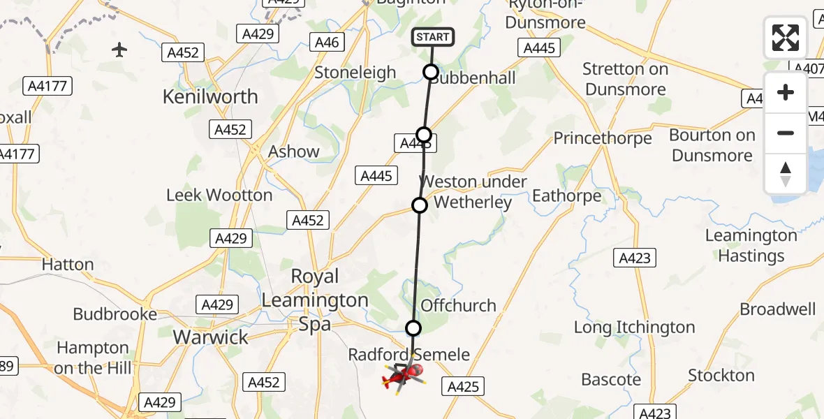
On Monday, 12 January 2026 at 16:07, a Air Ambulance Helicopter departed from Coventry Airport to Radford Semele. It was the Air Ambulance Helicopter with registration number G-WNAS. The flight lasted 7 minutes. During that period, the aircraft travelled 8 miles at an average speed of 70 miles per hour at a maximum altitude of 1150 feet.
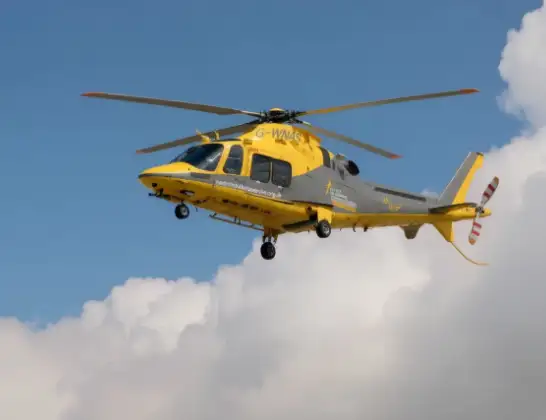
Helicopter: G-WNAS
The helicopter G-WNAS is used as an ambulance helicopter. The helicopter is equipped with a stretcher for transporting patients. The helicopter is often used to transport to hospitals.
Photo: Tony Melony
8 miles
1150 feet
70 mph
7 minutes
16:07
16:14

Route
Valley Road, Warwick16:14
Radford Semele, Warwick16:09
Cubbington, Warwick16:08
Stoneleigh, Warwick16:08
Bubbenhall, Warwick16:07
Samaritan Way, Warwick16:07
Today
Police Helicopter to Epping Forest, Green Lane26 Feb 23:43
Helicopter flights on your website?
You can easily display helicopter flights on your own website. Use the embed code.
