Air Ambulance Helicopter to Metchley, Metchley Park Road
Monday, 12 January 2026 | 11:47 | From Pershore
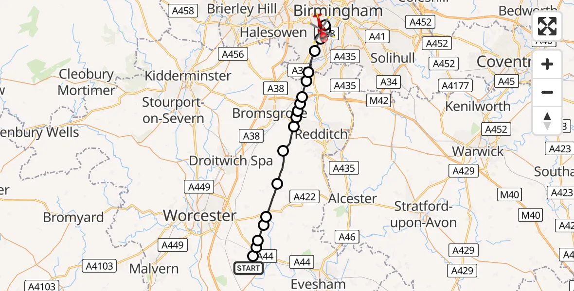
On Monday, 12 January 2026 at 11:47, a Air Ambulance Helicopter departed from Pershore to Metchley. It was the Air Ambulance Helicopter with registration number G-WNAS. The flight lasted 9 minutes. During that period, the aircraft travelled 26 miles at an average speed of 168 miles per hour at a maximum altitude of 1800 feet.
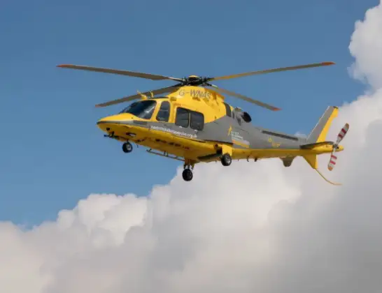
Helicopter: G-WNAS
The helicopter G-WNAS is used as an ambulance helicopter. The helicopter is equipped with a stretcher for transporting patients. The helicopter is often used to transport to hospitals.
Photo: Tony Melony
26 miles
1800 feet
168 mph
10 minutes
11:47
11:56

Route
Metchley Park Road, Birmingham11:56
Metchley, Birmingham11:55
Birmingham, West Midlands11:55
Metchley, Birmingham11:54
Birmingham, West Midlands11:54
Turves Green, Birmingham11:53
Cofton Hackett CP, Bromsgrove11:53
Barnt Green CP, Bromsgrove11:52
Bromsgrove11:52
Tutnall, Bromsgrove11:52
Stoney Lane Farm Airstrip, Bromsgrove, Worcestershire11:52
Tardebigge, Bromsgrove11:51
Upper Bentley, Bromsgrove11:51
Hanbury, Wychavon11:50
Wychavon11:48
Upton Snodsbury, Wychavon11:48
Peopleton, Wychavon11:48
Pinvin, Wychavon11:48
Drakes Broughton, Wychavon11:47
Pershore, Wychavon11:47
Live flights
Today
Police Helicopter to Epping Forest, Green Lane26 Feb 23:43
Flights Metchley
Air Ambulance Helicopter to Metchley, West Gate26 Feb 13:38
Air Ambulance Helicopter to Kinnersley, M521 Jan 15:14
Flights Pershore
Helicopter flights on your website?
You can easily display helicopter flights on your own website. Use the embed code.
