Air Ambulance Helicopter to Westbury, Elm Grove
Saturday, 10 January 2026 | 22:12 | From Henstridge Airfield
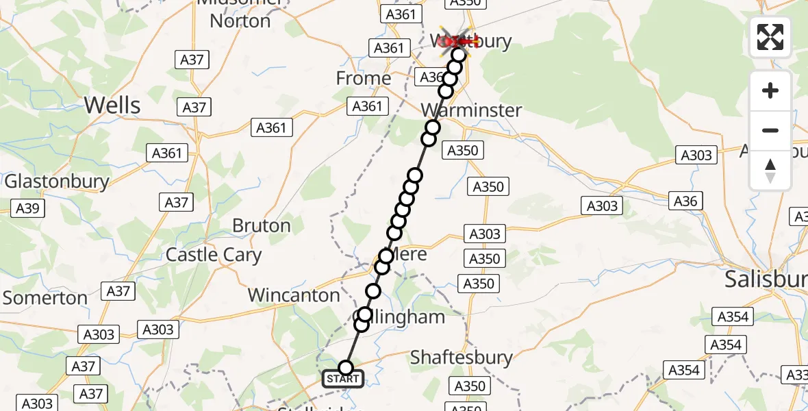
On Saturday, 10 January 2026 at 22:12, a Air Ambulance Helicopter departed from Henstridge Airfield to Westbury. It was the Air Ambulance Helicopter with registration number G-DSAA. The flight lasted 11 minutes. During that period, the aircraft travelled 22 miles at an average speed of 126 miles per hour at a maximum altitude of 1275 feet.
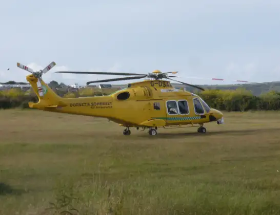
Helicopter: G-DSAA
The helicopter G-DSAA is used as a air ambulance helicopter. The main purpose of this aircraft is to transport a Mobile Medical Team to an incident as quickly as possible, enabling the trauma doctor to provide immediate first aid on site. The aircraft is flying this flight as Air Ambulance Helicopter.
Photo: Andrew Bone
23 miles
1275 feet
126 mph
11 minutes
22:12
22:23

Route
Westbury22:23
Elm Grove, 22:22
Westbury22:19
Biss Brook Farm Airstrip, Westbury, Wiltshire22:19
Upton Scudamore22:19
Warminster22:19
Corsley22:18
Warminster22:18
Horningsham22:17
Maiden Bradley22:17
Maiden Bradley with Yarnfield22:16
Kilmington22:16
Mere22:16
Kilmington22:16
Mere22:15
Zeals22:15
Silton22:14
Milton on Stour, Gillingham22:14
Gillingham22:14
Common Lane, 22:13
Kington Magna22:12
Henstridge Airfield, Templecombe, Somerset22:12
Today
Flights Westbury
Police Helicopter to Bournemouth Airport5 Jul 17:33
Air Ambulance Helicopter to RAF Benson23 Apr 13:37
Air Ambulance Helicopter to Westbury8 Apr 19:19
Helicopter flights on your website?
You can easily display helicopter flights on your own website. Use the embed code.
