Police Helicopter to Newcastle International Airport, Newcastle International Airport
Saturday, 10 January 2026 | 14:54 | From Callerton
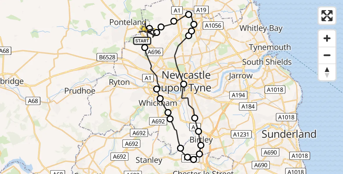
On Saturday, 10 January 2026 at 14:54, a Police Helicopter departed from Callerton to Newcastle International Airport. It was the Police Helicopter with registration number G-POLA. The flight lasted 14 minutes. During that period, the aircraft travelled 32 miles at an average speed of 136 miles per hour at a maximum altitude of 1675 feet.
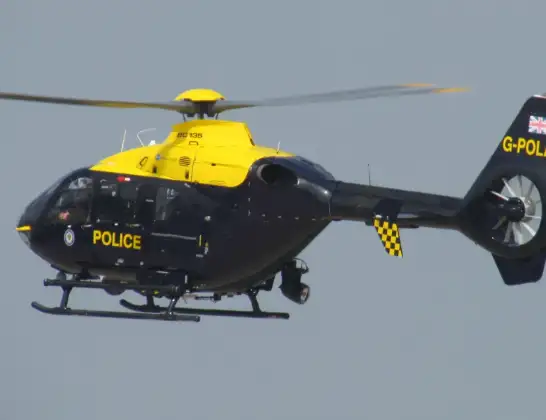
Helicopter: G-POLA
The helicopter G-POLA is used by the British police. The helicopter is deployed in pursuits, missing persons cases and other incidents where a helicopter provides added value.
Photo: ozz13x
33 miles
1675 feet
136 mph
15 minutes
14:54
15:08

Route
Newcastle International Airport, Newcastle upon Tyne, Tyne and Wear15:08
Newcastle International Airport, Newcastle upon Tyne, Tyne and Wear15:07
Newcastle upon Tyne, North East15:07
Dinnington, Newcastle upon Tyne15:07
Brunswick Village, Newcastle upon Tyne15:06
Seaton Burn, North Tyneside15:06
Dudley, North Tyneside15:05
Wideopen, North Tyneside15:05
Hazlerigg Village, Newcastle upon Tyne15:04
Newcastle upon Tyne, North East15:02
Gateshead, North East15:01
Lamesley, Birtley15:00
Birtley, North East15:00
South Pelaw, Chester-le-Street15:00
High Flats Farm Airstrip14:59
Perkinsville, North East14:59
High Handenhold, North East14:59
Lamesley, Gateshead14:57
Sunniside, Gateshead14:57
Whickham, North East14:57
Swalwell, Gateshead14:56
Newcastle upon Tyne, North East14:54
Callerton, Newcastle upon Tyne14:54
Today
Police Helicopter to Epping Forest, Green Lane26 Feb 23:43
Flights Callerton
Police Helicopter to Newton, Newton21 Feb 20:56
Police Helicopter to Callerton, Callerton30 Jan 04:43
Police Helicopter to Callerton, Callerton30 Jan 02:34
Police Helicopter to Callerton, Callerton30 Jan 01:37
Police Helicopter to Callerton, Orchid Drive26 Jan 01:59
Police Helicopter to Stella, Stargate Cut25 Jan 01:04
Police Helicopter to Callerton, A69624 Jan 20:38
Helicopter flights on your website?
You can easily display helicopter flights on your own website. Use the embed code.
