Air Ambulance Helicopter to Bristol, Bishop Manor Road
Friday, 9 January 2026 | 19:52 | From Sutton Benger
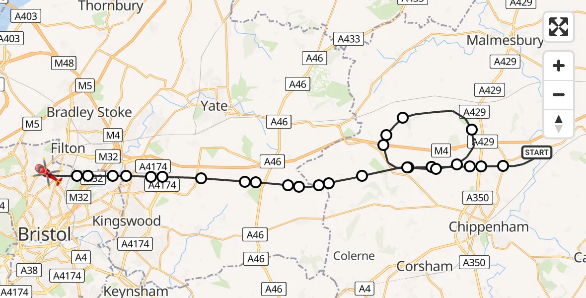
On Friday, 9 January 2026 at 19:52, a Air Ambulance Helicopter departed from Sutton Benger to Bristol. It was the Air Ambulance Helicopter with registration number G-WLTS. The flight lasted 19 minutes. During that period, the aircraft travelled 35 miles at an average speed of 111 miles per hour at a maximum altitude of 2275 feet.
Helicopter: G-WLTS
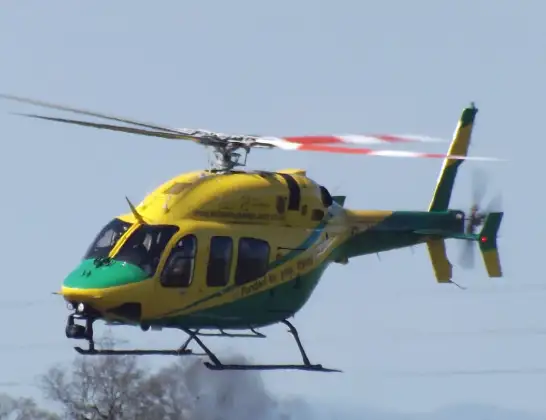
The helicopter G-WLTS is used as a air ambulance helicopter. The main purpose of this aircraft is to transport a Mobile Medical Team to an incident as quickly as possible, enabling the trauma doctor to provide immediate first aid on site. The aircraft is flying this flight as Air Ambulance Helicopter.
Photo: James
35 miles
2275 feet
111 mph
19 minutes
19:52
20:11

Route
Bishop Manor Road, Bristol20:11
Bristol, Bristol20:09
West of England20:09
Bristol, Bristol20:08
Frenchay, West of England20:08
Bristol, Bristol20:07
Kingswood, West of England20:07
Pucklechurch, West of England20:07
Hinton, West of England20:06
Dyrham, West of England20:05
West Littleton, West of England20:05
Tormarton, West of England20:04
Marshfield, West of England20:04
Nettleton, West of England20:03
West Kington20:03
Upper Castle Combe20:02
Yatton Keynell20:01
Kington St Michael20:00
Stanton St Quintin20:00
Hullavington19:58
Littleton Drew19:58
Stanton St Quintin19:57
Upper Castle Combe19:56
Yatton Keynell19:56
Kington St Michael19:55
Stanton St Quintin19:55
Kington Langley19:54
Main Road, 19:53
Sutton Benger19:52
Today
Police Helicopter to Epping Forest, Green Lane26 Feb 23:43
Flights Bristol
Air Ambulance Helicopter to Bristol, Boston Road19 Feb 17:26
to Bristol18 Feb 11:52
Helicopter flights on your website?
You can easily display helicopter flights on your own website. Use the embed code.
